

Chinook winds are returning to eastern Montana this week, bringing the potential for dramatic temperature swings, damaging gusts, and rapidly melting snow.
A chinook is a warm, dry, westerly wind that descends along the eastern slopes of the Rocky Mountains. They are often a major factor in Montana's winter forecasts.
The process begins with a strong, moist wind originating from the Pacific Ocean. That air is forced upward by the terrain near the Continental Divide. As it rises, it expands and cools, forming clouds and precipitation on the windward, or west, side of the mountains.
By the time that air crosses the divide, it is much drier. As it moves downward, it compresses and warms. Because dry air warms faster than moist air, the air arriving on the eastern side is significantly warmer than what started on the west side of the divide.
Loma, Montana holds the world record for the most extreme temperature change in 24 hours. On Jan. 15, 1972, a powerful Chinook caused temperatures to rise 103 degrees in a single day.
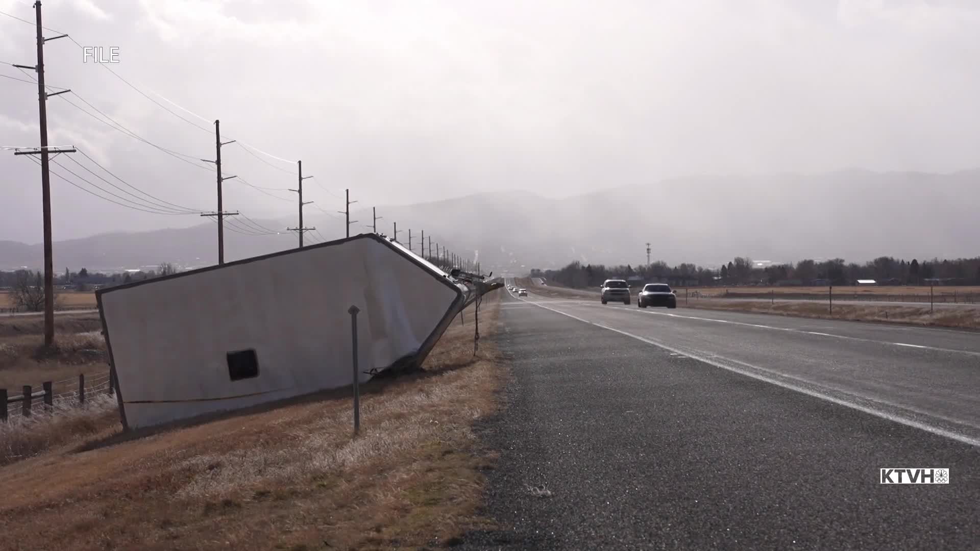
Wind speeds also increase as the air descends, driven by the difference in air pressure between the mountain peaks and the plains below. Near the Rocky Mountain Front, wind speeds can top 100 miles per hour, creating dangerous driving conditions and causing serious damage to trees and infrastructure.
Chinook winds are also known for rapidly melting snow and enhancing fire weather conditions. They can even produce unique cloud formations, such as chinook arch clouds, which are often seen over areas like Great Falls during these events and are a sign of strong atmospheric turbulence.
This story was reported on-air by a journalist and has been converted to this platform with the assistance of AI. Our editorial team verifies all reporting on all platforms for fairness and accuracy.
