

HELENA — Last week, many places in Montana experienced a variety of precipitation types. There was snow, there was regular ol' rain, there was sleet, which is little ice pellets and not a mix of rain and snow, and then there was freezing rain.
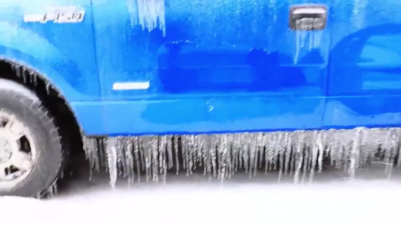
This precipitation form poses significant dangers, producing hazardous driving conditions, power outages, and structural damage due to ice accumulation. Freezing rain creates a thin layer of ice on roads and sidewalks, increasing the risk of slips and falls. Many people underestimate the severity of freezing rain because it initially appears as regular rain. As freezing rain accumulates, it adds significant weight to trees and power lines. The weight can cause roofs, awnings, and other structures to collapse. More significant ice storms usually occur in the Midwest and the Northeast, where inches of ice can accumulate and cripple towns for weeks.
While it may be 17°F and raining at the surface, clearly somewhere the air is above freezing, that's above the surface. During the freezing rain last week, above-freezing temperatures occurred several thousand feet above the surface, resulting in an inversion in the temperature profile. The arctic airmass was very dense and shallow, just a few thousand feet thick. Precipitation fell as regular rain in the areas above freezing. As that regular rain fell into the sub-freezing layer of air near the ground, it did not have time to freeze up before reaching the surface.
Supercooled raindrops freeze upon contact with the cold objects and surfaces on the ground, trees, and even your windshield. Conditions really iced up on the road surfaces through the overnight hours with fewer vehicles traveling.
