


A HIGH WIND WARNING is in effect for parts of Montana through Wednesday.
A FLASH FLOOD WATCH has been issued for northwest Montana through Wednesday.
A WINTER STORM WARNING has been issued for the Glacier area and Rocky Mountain Front from Tuesday afternoon through Wednesday afternoon.
A WINTER WEATHER ADVISORY is in effect for the Little Belt Mountains and Highwood Mountains through Wednesday.
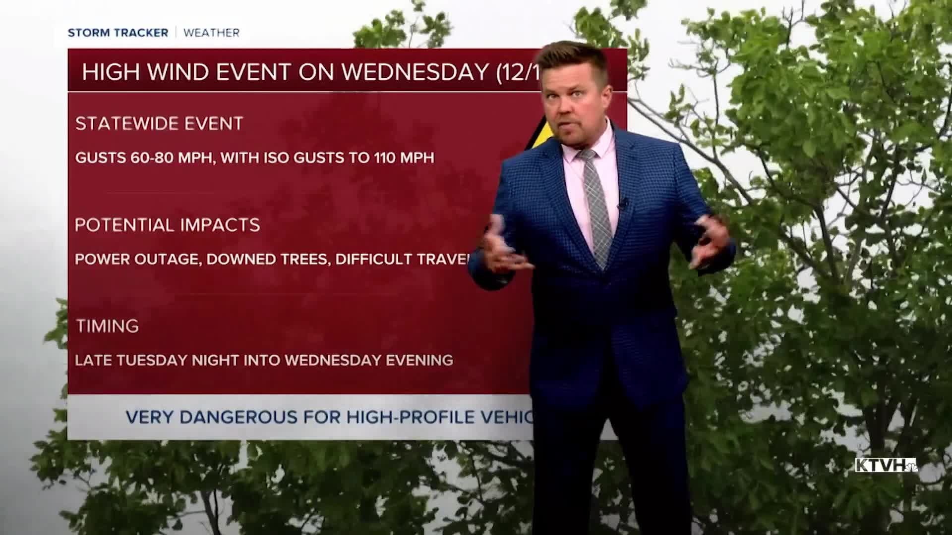
A dangerous wind event will impact all of Montana on Wednesday with powerful gusts capable of knocking down trees and powerlines, damaging homes, and overturning vehicles towing trailers. A powerful cold front will sweep across Montana on Wednesday with all the wind, rain and some heavy snow in the mountains. Initially it will be warm enough for rain in the lower elevations. Some flooding rain is looking likely again in waterlogged northwest Montana. Gusts could top 60-80mph in most locations, and the Rocky Mountain Front and East Glacier area could have gusts exceeding 100mph again. Watch out for objects blowing in the wind. Most any loose lawn furniture will be blown away. Heavy snow showers will develop over the mountains through late morning through the afternoon. Temperatures will fall through the 30s into the 20s, and some areas will see a flash freeze again. Some arctic air will spill into northeast Montana but it will not be as cold as last week. Thursday will be a quieter day with partly cloudy skies east, but mostly cloudy skies in central and western Montana. Highs will range from the 10s in the northeast corner of the state to the 30s and 40s elsewhere. Snow will begin to spread across the western Montana through the day. Some areas of rain and snow will continue on Friday as another front moves through the state. Saturday looks relatively quiet with seasonable temperatures and partly cloudy skies. The should be good for those traveling or intending to watch the Cats-Grizz playoff game. Sunday is the official start of winter.
Hunker down for that wind!
Curtis Grevenitz
Chief Meteorologist
