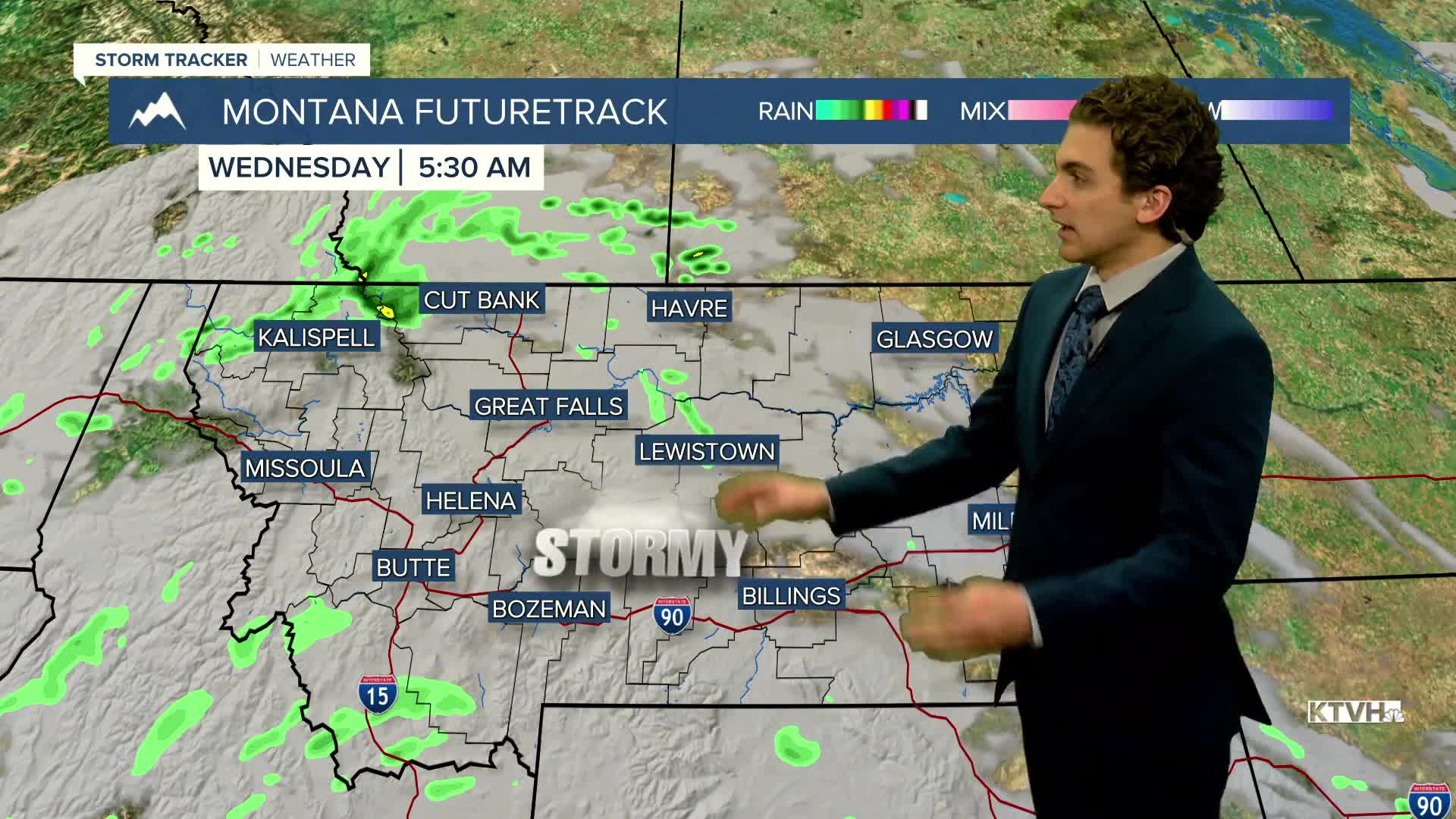


Several rounds of Pacific moisture will bring rain and thunderstorms beginning today, gradually cooling daytime highs below normal by the end of the week. Highs could dip as low as the 60s!
Highs reach the 80s today, however. There will be a couple of waves of storms. One is coming through Helena in the mid to late afternoon, and one after dark.
From today through Thursday, there will be daily afternoon and evening thunderstorms, a few of which could produce strong wind gusts and small hail. By the end of the week, the storms will transition to mostly rain, with Friday and Saturday showing the greatest potential for widespread measurable precipitation.
A center of low pressure will be over our state on Thursday in Friday. The positioning of this low will heavily influence the amount of precipitation we will see. Keep checking back for the latest forecast.
——————————————————————————————————————————
WEATHER ALERTS:
NONE
——————————————————————————————————————————
Helena Temperature Records Today:
High: 93 (1982)
Low: 25 (1959)
AVG: 76/47
Great Falls Temperature Records Today:
High: 92 (1981)
Low: 31 (1992)
AVG: 75/45
Have a great Tuesday!
Joey Biancone
Meteorologist


