


Snow continues to accumulate across western Montana this morning. It will be cloudy and cold for the remainder of the day, with highs only reaching the 30s and low 40s.
This afternoon, snow will mainly be confined to the Rocky Mountain Front, but a few more flurries can occur in the Helena area. Wintry driving conditions will be present over the next few days.
Another low-pressure system passes by on Tuesday evening into Thursday night. Depending on the track of the low, we could see some forecast rain and snow around the Helena area. Expect scattered showers Tuesday evening and most of Wednesday with mostly cloudy skies and highs in the 40s.
Overall, drier and warming conditions take hold towards the end of the week. Temperatures return to the 50s and 60s by the weekend with a west wind picking back up.
——————————————————————————————————————————
WEATHER ALERTS:
A WINTER STORM WARNING continues for Gates of the Mountains and Southern High Plains until noon Monday
A WINTER STORM WARNING continues for the Continental Divide along the Rocky Mountain Front until noon Monday
A WINTER STORM WARNING continues for Bad Rock Canyon, Marias Pass, Essex, Highway 83 Bigfork to Swan Lake, Glacier National Park higher elevations including Going-to-the-Sun Road and Logan Pass, and Polebridge until noon Monday
A WINTER STORM WARNING continues for Highway 2 Kalispell to Libby, Highway 93 Eureka to Whitefish, Highway 56 Bull Lake Road, and Highway 37 Eureka to Libby until noon Monday
A HIGH WIND WARNING continues for primarily Flathead Lake and eastern portions of Flathead valley including Ferndale, and Many Lakes north to Lake Blaine until noon Monday
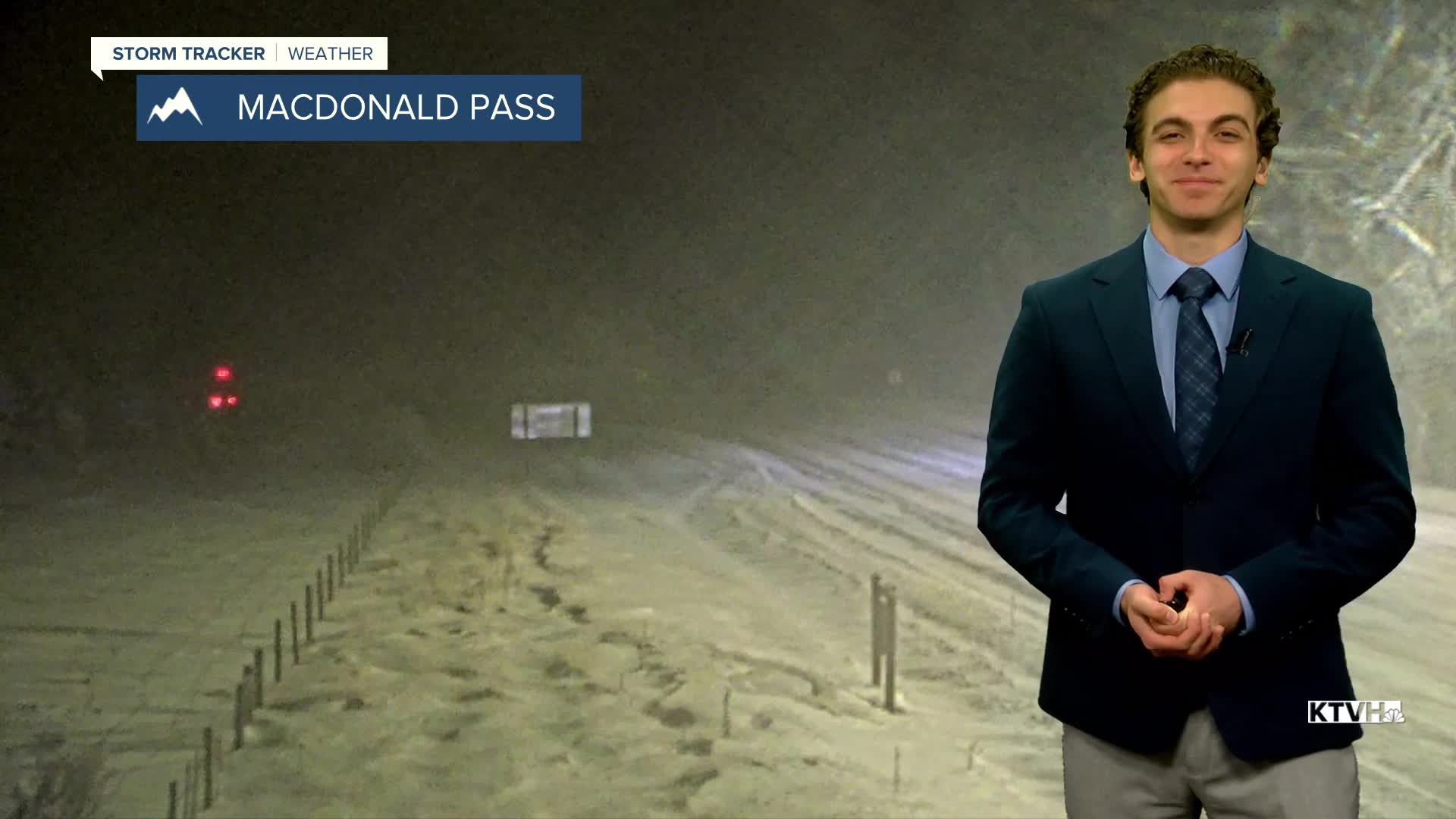
A WINTER WEATHER ADVISORY continues for the Elkhorn and Boulder Mountains and Upper Blackfoot and MacDonald Pass until noon Monday
A WINTER WEATHER ADVISORY continues for Eastern Pondera and Eastern Teton Counties, Cascade County below 5000ft, Judith Basin County and Judith Gap, and Helena Valley until noon Monday
A WINTER WEATHER ADVISORY continues for the Northern High Plains until noon Monday
A WINTER WEATHER ADVISORY continues for the Little Belt and Highwood Mountains until noon Monday
A WINTER WEATHER ADVISORY continues for the Lower Clark Fork Region until noon Monday
A WINTER WEATHER ADVISORY continues for Butte, Homestake Pass, MacDonald Pass, and Georgetown Lake until noon Monday
A WINTER WEATHER ADVISORY continues for Highway 83 Seeley Lake to Condon until noon Monday
A WINTER WEATHER ADVISORY continues for Highway 93 Sula to Lost Trail Pass, Lolo Pass until noon Monday
A WINTER WEATHER ADVISORY continues for Polson, Flathead Valley, Flathead Lake, and Mission Valley until noon Monday
——————————————————————————————————————————
Helena Temperature Records Today:
High: 79 (1918)
Low: 10 (1881)
AVG: 59/35
Great Falls Temperature Records Today:
High: 85 (1964)
Low: 14 (1969)
AVG: 58/34
