


FRIDAY, MAY 1ST: This will be the warmest day of the week for many. Afternoon temperatures will reach the low 70s under mostly sunny skies. Some clouds will move in later tonight, but dry conditions will persist. Winds will be out of the south at 5 to 15 MPH.
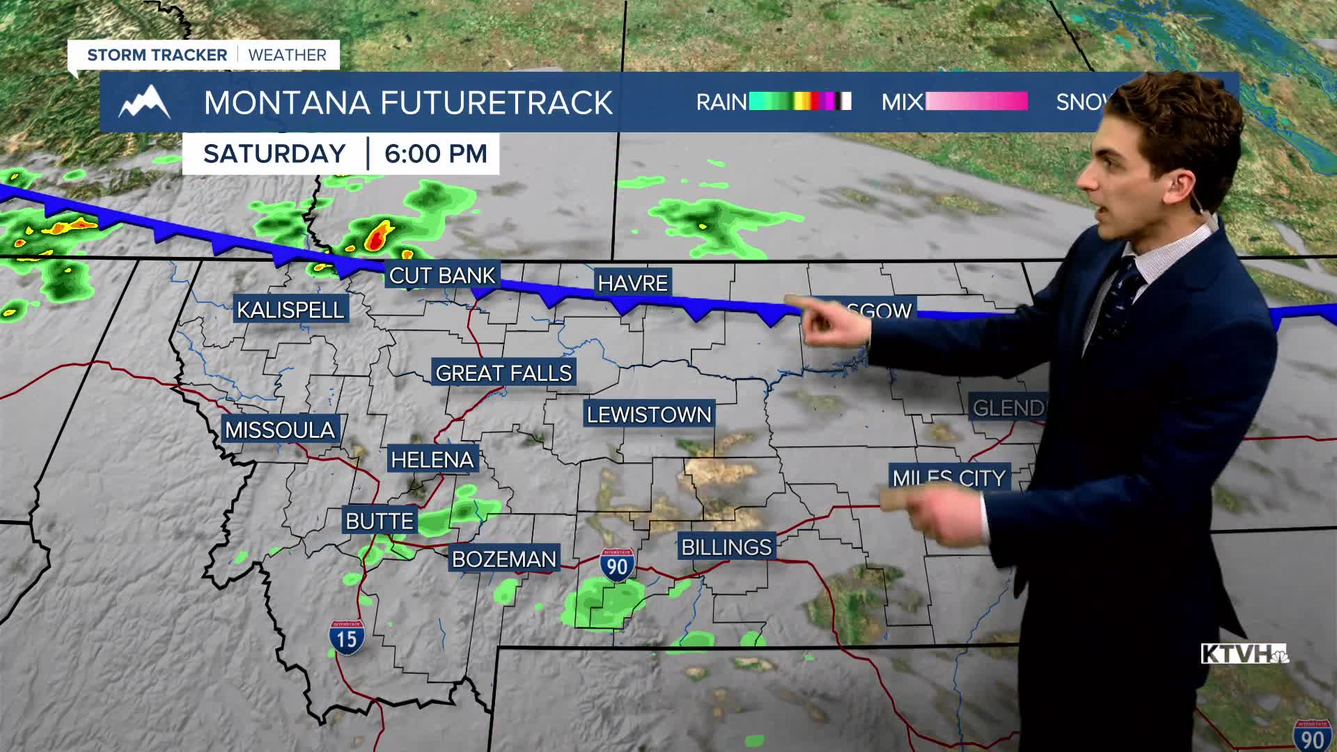
SATURDAY, MAY 2ND: Warmer weather continues with highs in the upper 60s to low 70s. A small piece of energy moves into the state, allowing isolated thunderstorms to pop up in the afternoon. Storms will be few and far between, so nothing to cancel outdoor weekend plans for. Expect partly to mostly cloudy skies with winds out of the northwest at 5-15 MPH.
SUNDAY, MAY 3RD: Isolated storms will move further south in the state. They will form in the afternoon, mainly south of Helena. Highs will still reach the upper 60s to low 70s under partly cloudy skies. Winds will be out of the north at 5-15 MPH.
MONDAY, MAY 4TH: Expect partly to mostly cloudy skies with high temperatures ranging from the upper 60s in the west to the low 50s in the east. A few showers and a thunderstorm or two may form near and along the Continental Divide. Winds will be gusty in the eastern plains. The Helena and Great Falls areas will gust to about 20-25 MPH.
LONG-TERM FORECAST: Warmer weather continues into the first week of May with mainly dry days aside from Monday and Tuesday when a cold front moves through the area.
——————————————————————————————————————————
WEATHER ALERTS:
NONE
——————————————————————————————————————————
Helena Temperature Records Today:
High: 84 (2023)
Low: 20 (1954)
AVG: 62/37
Great Falls Temperature Records Today:
High: 83 (2000)
Low: 12 (2009)
AVG: 60/33


