


A FLOOD WATCH has been issued for Battle Creek near Chinook through early Sunday morning
——————————————————————————————————————————
What a day we have ahead of us. Highs in the 60s to even low 70s statewide are expected today. Only a few thin cirrus clouds will be present in the daytime sky. It is a prime day for outdoor activities, so if you are able get out and enjoy the best of what Montana has to offer!
An upper level ridge has moved over the state, allowing us to warm 15 to 20 degrees above average in some places. Gusty wind off the north-south oriented mountains will assist in the warming process today and tomorrow.
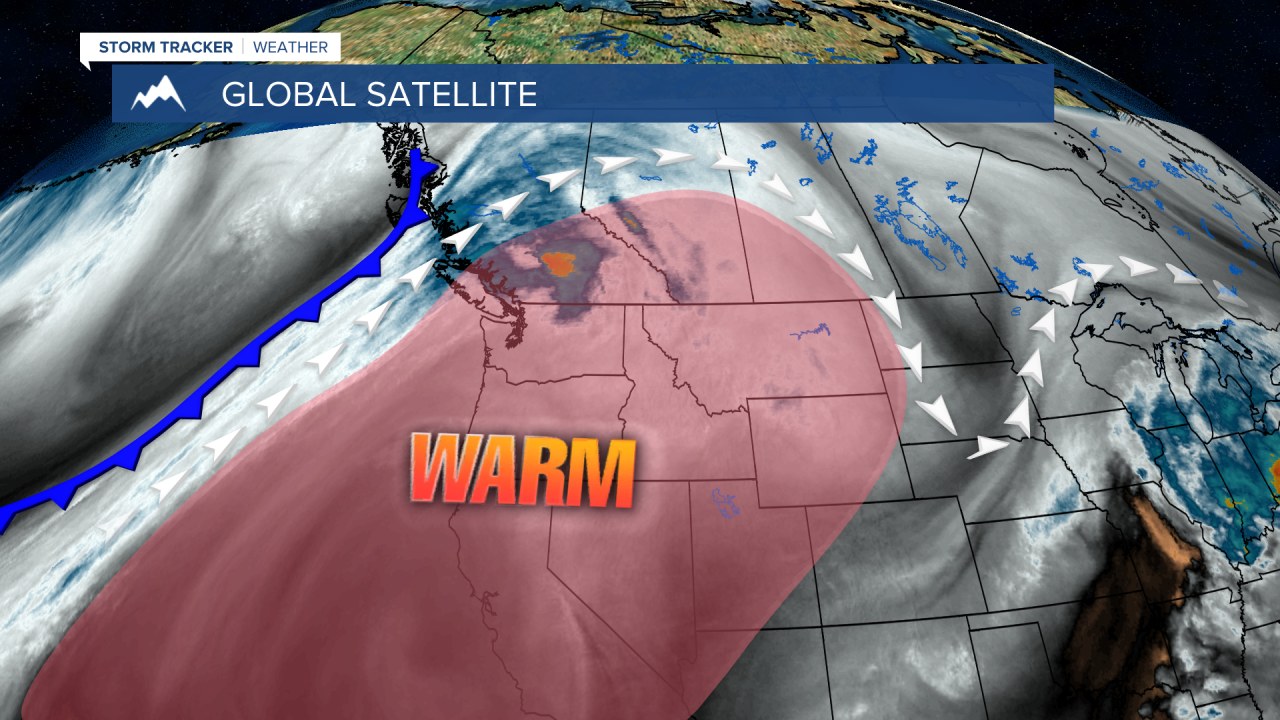
A cold front advances through the state tomorrow afternoon. We will have building cloud cover in western Montana as the day progresses. It is possible that a few thunderstorms develop along the cold front. Scattered storms and showers will continue into the nighttime hours.
Highs across eastern Montana will stay very warm tomorrow in the lower to mid 70s with clear skies.
Unsettled weather will stick around for the rest of the week in western portions of the state due to a broad trough replacing the ridging in the region. The cold front stalls out on Thursday and will help create more showers and storms in and around the higher terrain.
On Friday, a strong upper-level low moves in over southern Idaho and northern Utah that will sustain storm and shower activity, with even the possibility of a few lighting strikes.
Over the weekend. There is a strong possibility of seeing some accumulating snow. The weather models are struggling to come to an agreement of exactly how much will fall, as some have the upper level low moving out a lot sooner than others. Temperatures will be cold regardless, in the 30s and 40s for most locations around the mountainous regions.
Helena Temperature Records Today:
High: 76° (1990)
Low: -5° (1936)
AVG: 53/29
Great Falls Temperature Records Today:
High: 76° (1992)
Low: -10° (1936)
AVG: 50/26
Enjoy the warmth!
Joey Biancone
Meteorologist
Facebook: Meteorologist Joey Biancone
Instagram: joeybianconewx
