


After a trace of rain in Helena yesterday, more wet weather is on the way through the end of this week. Rounds of thunderstorms will continue to impact western Montana.
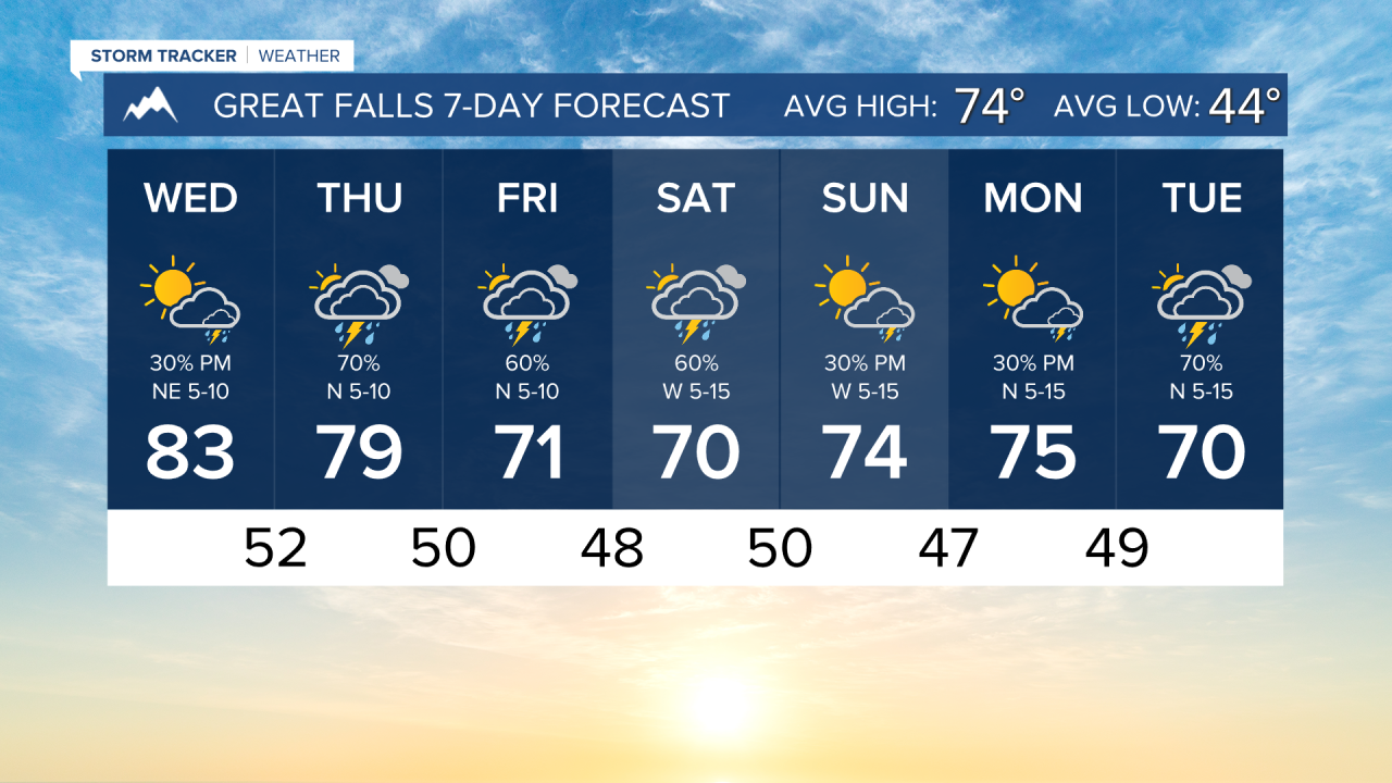
Only isolated thunderstorms will form this afternoon. Not everybody will be affected by storms today. Highs reach the 80s for the last time for a while, as cooler weather with highs in the 70s will be ushered in by a storm system.
We are watching the potential for severe weather tomorrow, especially in eastern Montana. There will be numerous thunderstorms across the state.
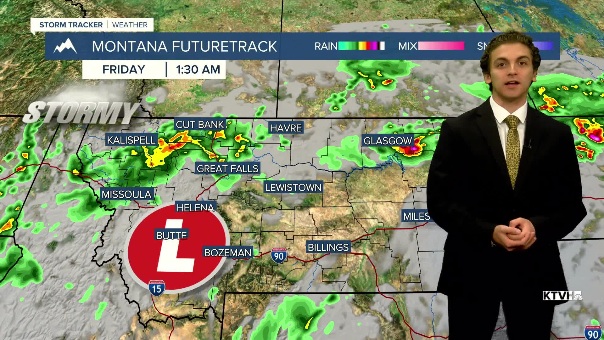
The low-pressure system we've been tracking over the last few days continues to trend further north and east of our area, which may limit the amount of meaningful rainfall western Montana receives. Reguardless, there still will be scattered thunderstorms Friday into Saturday.
——————————————————————————————————————————
WEATHER ALERTS:
NONE
——————————————————————————————————————————
Helena Temperature Records Today:
High: 91 (1966)
Low: 30 (1921)
AVG: 75/46
Great Falls Temperature Records Today:
High: 91 (1966)
Low: 29 (1921)
AVG: 74/44
Have a great Wednesday!
Joey Biancone
Meteorologist