A FLOOD WATCH has been issued for Battle Creek near Chinook through early Sunday morning
——————————————————————————————————————————
I promise it's no April Fools joke when I say that some parts of the state could meet or exceed 70 degrees tomorrow and Wednesday. After a prolonged cool period to end March, it will be much needed relief before we cool down once again mid-week.
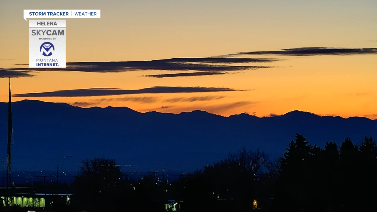
Today we will see mostly clear skies across Big Sky Country. Its possible for a shower or two to develop near the Montana/Wyoming border as our Easter weekend disturbance continues it's journey eastward. The wind might be gusty right up on the Rocky Mountain Front, but most locations should have fairly light to moderate wind speeds. Temperatures will be in the 50's and 60's.

Tomorrow looks like the best day out of the bunch. We will warm into the 60s and 70s with clear skies. Get outdoors if you are able. It's going to be a perfect day outside.
Wednesday we will reach into the 60s and 70s again ahead of a cold front that will bring thunderstorms to western and central portions of the state. At this time, it doesn't appear to me that any of the storms will have a severe component to them, but keep checking back as we get closer for all the latest on my forecast.
The cold front will slow down as it makes its way into central portions of the state on Thursday. The mountains will have scattered snow showers and the valleys will see rain, with temperatures cooling into the 50s.
The rest of the week and weekend looks to be cool and wet under the influence of a strong low pressure system to our south, with the possibility of some accumulating snow on Saturday.
Helena Temperature Records Today:
High: 75° (1966)
Low: -10° (1936)
AVG: 53/29
Great Falls Temperature Records Today:
High: 71° (2021)
Low: -5° (1936)
AVG: 50/26
Happy April!
Joey Biancone
Meteorologist
Facebook: Meteorologist Joey Biancone
Instagram: joeybianconewx


