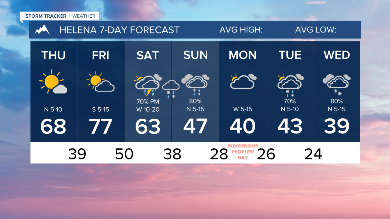


We have a couple of days left of really nice weather before the weekend becomes a little more winter-like. Snow levels could drop to the valley floors by Sunday for a brief period.
Today will continue the streak of beautiful weather with mostly sunny skies and highs in the 60s and low 70s.
Tomorrow will be the warmest day of the week, with highs reaching the mid to upper 70s ahead of a cold front. It will also be breezy in the afternoon.
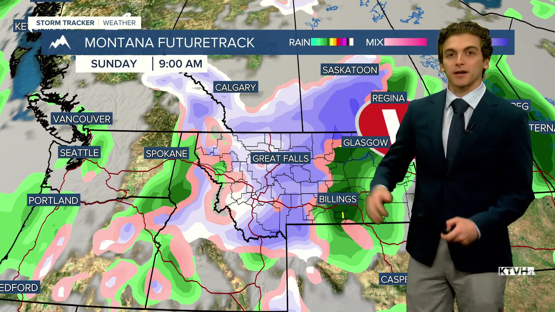
The aforementioned cold front comes through Saturday in the late morning and early afternoon. Rain and a couple of thunderstorms will develop and expand in coverage. Snow levels drop overnight, and many lower elevations could see some wet snowflakes by Sunday morning.
Snow levels will continue to drop to the point where there may be a brief period of snowfall in the lower elevations during the day on Sunday.
An active, cold pattern continues into next week.
——————————————————————————————————————————
WEATHER ALERTS:
NONE
——————————————————————————————————————————
Helena Temperature Records Today:
High: 84 (1942)
Low: 6 (1985)
AVG: 62/36
Great Falls Temperature Records Today:
High: 84 (1971)
Low: 6 (1985)
AVG: 61/35