


As the upper-level low swings through Montana, temperatures around 20 degrees below normal can be expected. Additionally, a west to northwest wind increases today and tomorrow. This will bring in some Canadian wildfire smoke to the plains, creating air quality concerns.
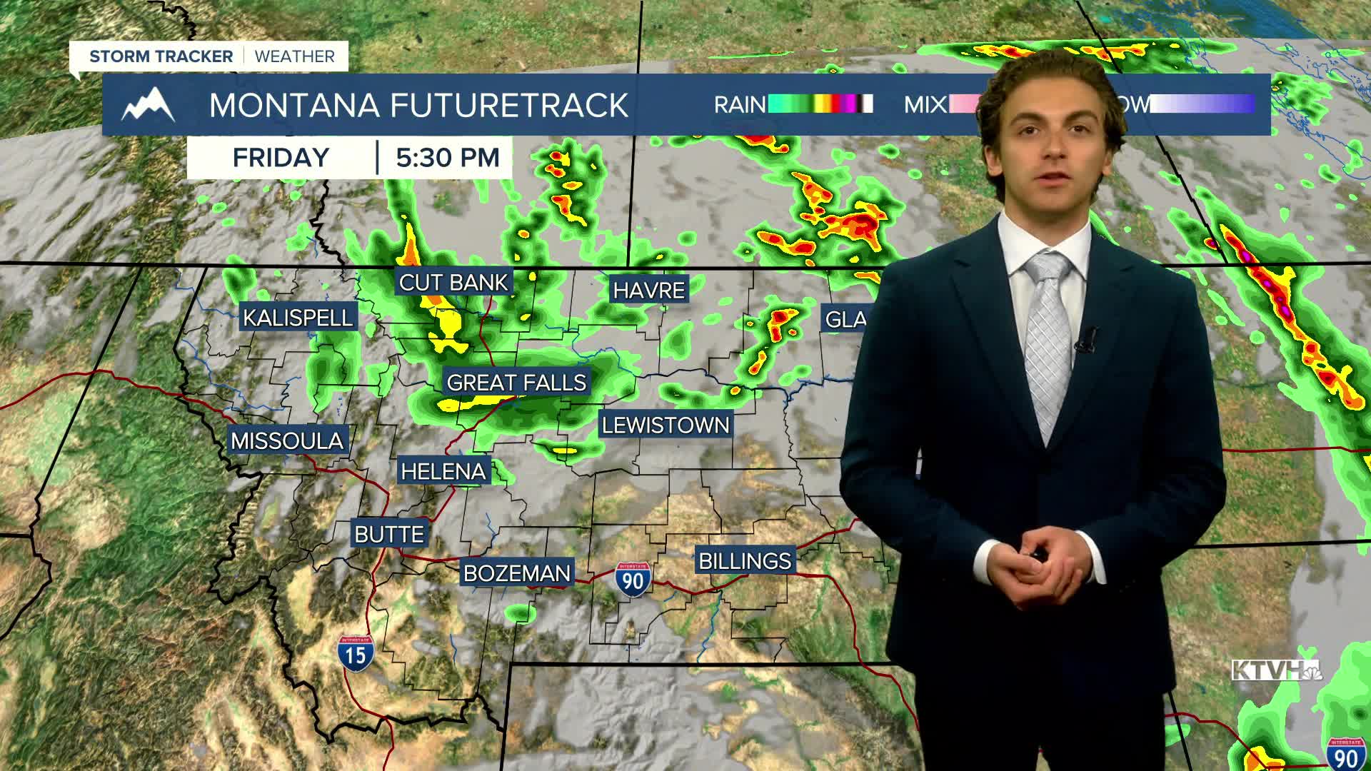
Highs on Friday will only reach the 60s and 70s across the state with scattered rain showers and a few embedded thunderstorms. The severe threat is near-zero for almost the whole state.
On the back side of our storm system that brought severe weather to Montana yesterday, winds pick up to gust around 30-40 MPH this afternoon.
Wind comes in from the northwest on Saturday. This could bring some smoke impacts to the plains. Air quality could dip into unhealthy levels at times.
Highs will reach the mid to upper 70s on Saturday. A few showers may be around, but mainly dry conditions can be expected. Rain is more likely in eastern Montana.
Sunday will be the nicest weekend day. West wind returns, which should push smoke out of north-central Montana. Highs warm into the 80s under mostly sunny skies.
The beginning of the work week will be warm and dry. Highs will reach the upper 80s to low 90s before another cold front begins to move through the northern half of the state on Tuesday.
Thunderstorms will return to the forecast towards the middle and end of next week, as another storm system approaches from the Pacific.
——————————————————————————————————————————
WEATHER ALERTS:
A LAKE WIND ADVISORY has been issued for Fort Peck Lake from 9 AM Friday until 9 PM Saturday
——————————————————————————————————————————
Helena Temperature Records Today:
High: 99 (1990)
Low: 38 (1885)
AVG: 87/55
Great Falls Temperature Records Today:
High: 102 (2012)
Low: 41 (1917)
AVG: 86/52
Have a great weekend!
Joey Biancone
Meteorologist


