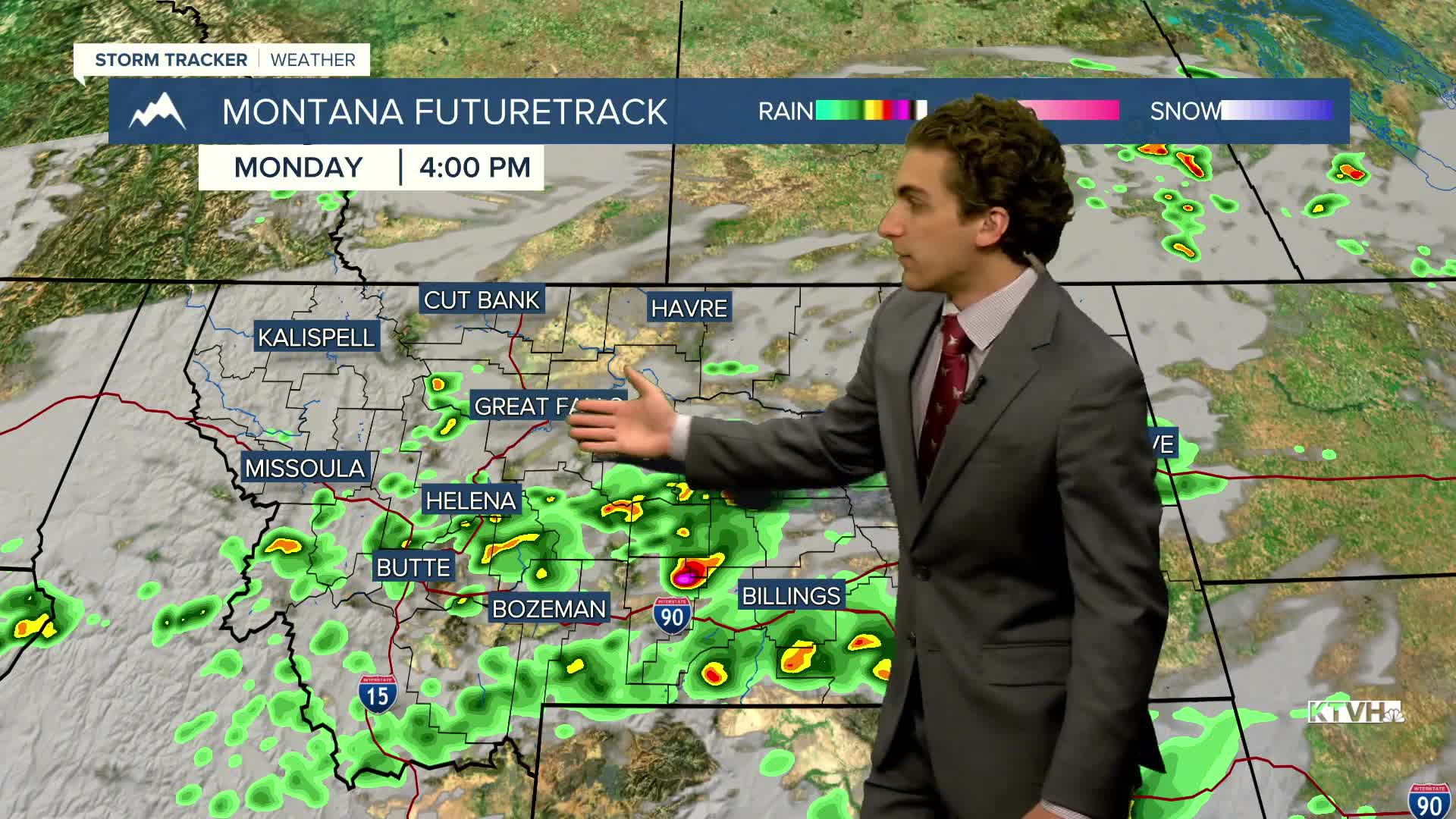


Central and eastern Montana have been walloped over the past few days with severe weather, particularly on Sunday when hail the size of grapefruits, wind gusts over 80 MPH, and a few tornadoes. Although the setup isn't quite as impressive as yesterday, some portions of the state that were already it with severe thunderstorms can be hit again today.
The Helena and Great Falls areas are outside the area of organized severe weather, but an isolated stronger thunderstorm cannot be ruled out. Highs will reach the 70s for most today.
Thunderstorms move further east on Tuesday. Aside from a few showers and weaker storms earlier in the day near Helena and Great Falls, it should be a mostly sunny day with high temperatures reaching the 80s
A weak ridge of high pressure builds over the region on Wednesday, keeping us dry and warm. Highs will be in the 80s again.
The return of southwest flow aloft brings afternoon thunderstorms back for the end of the week. The first day of summer is coming up on Friday.
It will not feel like summer heading into he weekend, however. A center of low moves into Montana late Saturday into Sunday, bringing much cooler air, widespread rain, and even some mountain snow. High temperatures will only reach the 50s and 60s, especially on Sunday.
——————————————————————————————————————————
WEATHER ALERTS:
NONE
——————————————————————————————————————————
Helena Temperature Records Today:
High: 95 (1933)
Low: 30 (1949)
AVG: 74/49
Great Falls Temperature Records Today:
High: 100 (1933)
Low: 35 (2001)
AVG: 73/46
Have a great Monday!
Joey Biancone
Meteorologist


