


A BLIZZARD WARNING continues for the Little Belt and Highwood Mountains through midnight tonight.
A WINTER STORM WARNING continues for East Glacier and the Rocky Mountain Front through midnight tonight.
A WINTER STORM WARNING continues for the Big Belt, Judith, Bridger, Castle, and Snowy ranges through midnight tonight.
A WINTER STORM WARNING continues for the Madison, Gallatin, and Centennial ranges through midnight tonight.
A WINTER STORM WARNING has been issued for the Absaroka, Beartooth, Crazy, Pryor, and northern Bighorn Mountains through 12 PM Tomorrow.
A WINTER WEATHER ADVISORY continues for Cascade county below 5000 feet, Judith Basin County and Judith Gap-Fergus County below 4500 feet through 12 PM today.
A WINTER WEATHER ADVISORY has been issued for Butte, MacDonald Pass, Highway 12 Garrison to Elliston, Homestake Pass, and Georgetown Lake from 9 PM tonight through 11 AM tomorrow.
A WINTER WEATHER ADVISORY continues for the Elkhorn and Boulder Mountains through midnight tonight.
A WINTER WEATHER ADVISORY continues for Marias Pass from through 11 AM this morning.
A LAKE WIND ADVISORY continues for Fort Peck Lake through 6 PM tonight.
A FLOOD WARNING continues for Clear Creek until further notice.
A FLOOD ADVISORY continues for portions of north-central and central Montana through 12 PM tomorrow.
——————————————————————————————————————————
Before we get into the wintry weather ongoing this morning, there was some extreme wind across the state yesterday/ The roof of Shelby High School was partially blown off yesterday afternoon. Luckily, nobody was injured. The highest wind gust reported in the state was 89 MPH just to the northeast of Chester. All of the High Wind Warnings have expired today, but gusty conditions are still possible this morning.

Reports of downed tree limbs and power outages are already coming in this morning across the state as heavy wet snow made it down to lower elevations.
Dangerous travel conditions will persist throughout the day today. Take caution when heading out on the roads. Winter tires and chains are recommended in the mountain passes. The National Weather Service is describing travel in the Little Belts as "impossible". Take this quote very seriously.

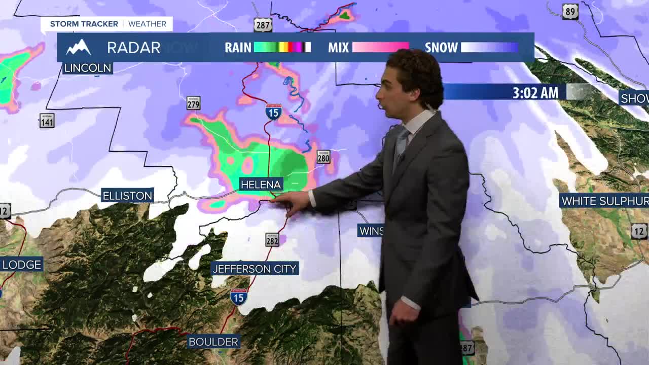
Snow will continue in lower elevation for the next few hours. It will then transition to rain. Most of the state will stay wet through the day today.
The system causing this mess will finally move out of here tomorrow with just a few lingering showers in the morning hours. Temperatures will warm back into the 50s and 60s.
The weekend will be a well-earned warm and dry few days. Temperatures will be in the 70s and approached 80 in some locations. A few small disturbances will make their way through early in the work week but we will stay warm.
Helena Temperature Records Today:
High: 85° (1987)
Low: 23° (1897)
AVG: 64/39
Great Falls Temperature Records Today:
High: 88° (1987)
Low: 21° (1999)
AVG: 62/36
Stay safe!
Joey Biancone
Meteorologist
Facebook: Meteorologist Joey Biancone
Instagram: joeybianconewx
Email: joey.biancone@ktvh.com
