


Rain and snow moved through our area yesterday. Most of the rest of this week will trend drier with more potential storms coming in next week.
TUESDAY, FEBRUARY 10TH: Temperatures have dipped to near freezing this morning. Be careful on the roads, especially in the higher terrain. They could be a bit icy from yesterdays rain and snow. Highs will reach the 40s for most in the state.
WEDNESDAY, FEBRUARY 11TH: A cutoff low-pressure system will pass to our south, bringing snow back to states like Colorado, Utah, Wyoming, and Idaho. Snow will make its way into southwest Montana and possibly some isolated showers as far north as Townsend and Boulder. But expect a mostly dry day for the majority of us. Highs will reach the 40s again under partly to mostly sunny skies.
THURSDAY, FEBRUARY 12TH: Thursday will be a really nice day. Highs approach the 40s and low 50s across the state under mostly sunny skies. Wind will begin to pick up in north-central Montana in the afternoon and evening. Gusts could approach 50-60 MPH near the Rocky Mountain Front.
FRIDAY, FEBRUARY 13TH: Gusty winds will pick up in the plains. Winds will approach 50-60 MPH near the Rocky Mountain Front again. Highs will also reach the 40s and low 50s. Expect cloud cover to increase throughout the day
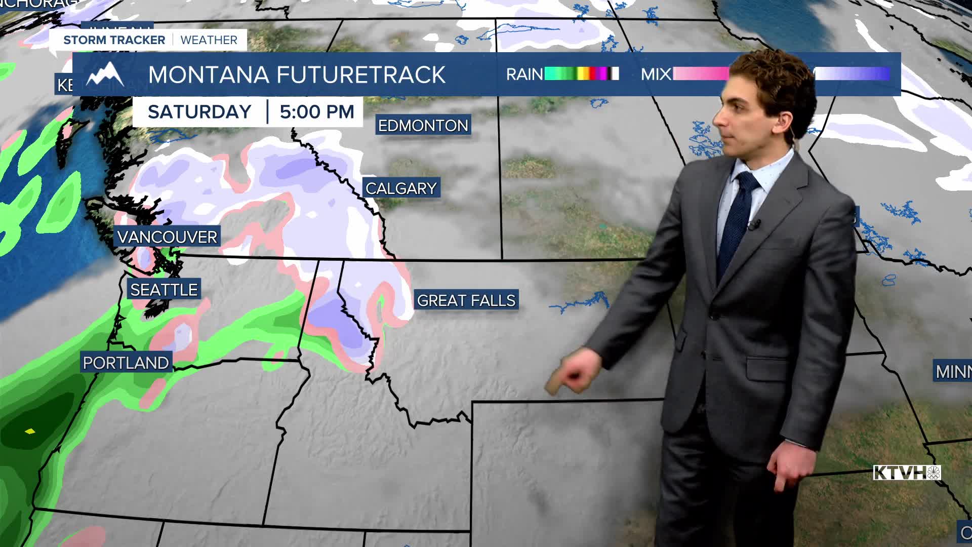
LONG-RANGE FORECAST: Temperatures will be above average towards the end of the week and into the weekend, but more rain and snow are expected by the early and middle parts of next week.
——————————————————————————————————————————
WEATHER ALERTS:
NONE
——————————————————————————————————————————
Helena Temperature Records Today:
High: 66 (1951)
Low: -28 (1981)
AVG: 36/16
Great Falls Temperature Records Today:
High: 64 (1951)
Low: -30 (1939)
AVG: 36/15


