


Locally dense fog is developing throughout southwest Montana this morning. Meanwhile, strong winds are already blowing in north-central Montana.
Highs will be in the upper 40s to low 50s in the valleys today, while most of the plains will reach the low to mid 50s. Once the fog burns off, expect mostly sunny skies.
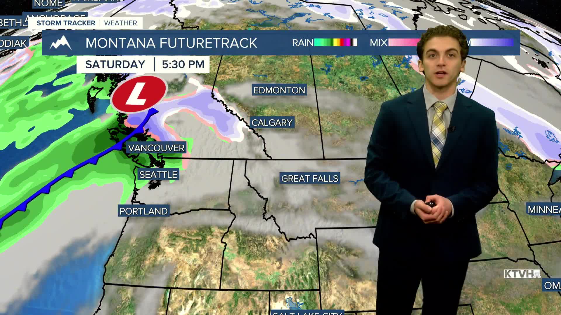
The weekend will be dry with increasing clouds. Highs will be in the 50s for most.
Light snow will accompany the cold front on Monday and last into Tuesday morning. The coldest temperatures of the season so far will impact the state during Thanksgiving week. Highs will only reach the 20s and 30s, while lows dip into the single digits and teens.
——————————————————————————————————————————
WEATHER ALERTS:
A DENSE FOG ADVISORY continues for the Gallatin Valley until 10 AM Friday
——————————————————————————————————————————
Helena Temperature Records Today:
High: 61 (1904)
Low: -18 (1946)
AVG: 40/21
Great Falls Temperature Records Today:
High: 70 (1917)
Low: -20 (1946)
AVG: 42/22


