


TUESDAY, MAY 12TH: Today will be a beautiful day, starting mostly sunny and ending partly cloudy. Highs will reach the 70s and low 80s with light east winds at 5 to 15 MPH.
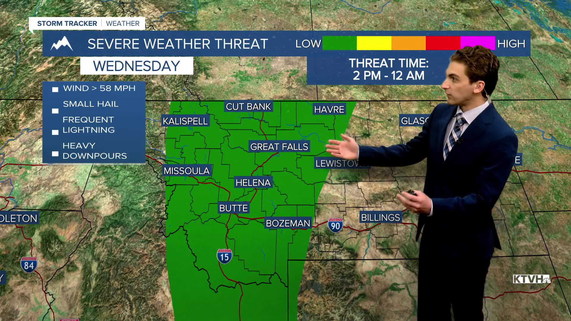
WEDNESDAY, MAY 13TH: Wednesday will be a busy weather day due to multiple factors. Temperatures are expected to warm to summerlike conditions with highs in the upper 80s to low 90s through central and eastern Montana. A few locations across the state will be nearing record highs on May 13th.
Wind will also pick up again from the south and west during the day, becoming stronger heading into Wednesday night. Wind gusts will approach 50-60 MPH late at night.
Scattered thunderstorms will be moving through the area as well in the mid to late afternoon and evening. A few of the storms could be on the strong to severe side, producing gusty winds, hail, and frequent lightning.
Wildfire danger also increases in most areas with the dry air at the beginning of the day, gusty winds, and lightning from thunderstorms.
THURSDAY, MAY 14TH: Strong wind gusts continue into Thursday morning with wind gusts across north-central Montana and the Helena area approaching 60 MPH. The wind will be strongest in the morning, but expect gusty winds to continue through the rest of the day. Some showers and thunderstorms will also continue to move eastward along the Hi-Line. High temperatures will reach the 60s.
FRIDAY, MAY 15TH: The wind will not be as strong as Thursday, but wind gusts will still be approaching 30-40 MPH in the afternoon. Morning lows will dip to the upper 30s and low 40s. Afternoon highs will reach the upper 60s to low 70s. A few showers and a thunderstorm or two will pop up on and west of the Continental Divide, but most areas stay dry.
SATURDAY, MAY 16TH: A weaker storm system than Wednesday's comes through the state for the weekend. This will bring high elevation snow and low elevation scattered light rain. Highs will only reach the upper 50s and low 60s. Winds will continue to gust between 30 and 40 MPH.
LONG-TERM FORECAST: A ridge of high pressure builds in the beginning next week, helping warm and mainly dry weather stick around. There are hints of a storm system moving through the state on Wednesday and Thursday.
——————————————————————————————————————————
WEATHER ALERTS:


————————————————————————————————————————
Helena Temperature Records Today:
High: 92 (2001)
Low: 22 (1943)
AVG: 65/40
Great Falls Temperature Records Today:
High: 90 (2001)
Low: 22 (1943)
AVG: 64/37


