

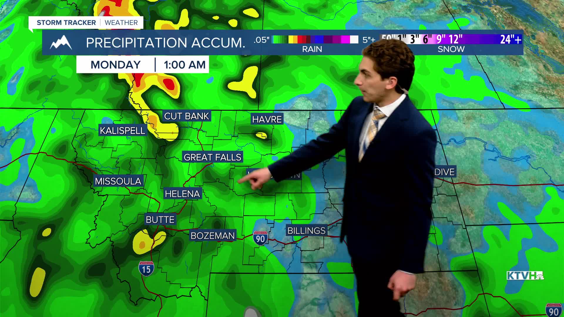


TUESDAY. MAY 26TH: Isolated severe storms are possible for our area. Showers and thunderstorms will begin moving in from the south around 1-2 PM and will move northward through the rest of the afternoon and evening. Storms are capable of producing gusty winds and small hail.
Highs in the 80s will be common across the Helena Valley and north-central Montana. Afternoon temperatures could push into the low 100s in northeast Montana.
Red Flag conditions will be present in northeast Montana. In addition to the heat, dry air and gusty winds will also be in place.
WEDNESDAY. MAY 27TH: More general thunderstorms will move through Helena on Wednesday afternoon. Expect partly to mostly cloudy skies with highs in the upper 70s to low 80s.
Red Flag Warnings continue in northeast Montana with gusty winds, low relative humidity, and hot temperatures in the 90s.
THURSDAY. MAY 28TH: Isolated thunderstorms are expected in the afternoon again. Skies will be mostly sunny to partly cloudy. Highs will be the hottest of the week in the upper 80s to 90s.
FRIDAY. MAY 29TH: Yet another day of scattered thunderstorms. Highs reach the 80s under partly cloudy skies.
LONG-RANGE FORECAST: Expect cooler temperatures for the weekend, but stormy conditions will stick around through the end of the month.
——————————————————————————————————————————
WEATHER ALERTS:


——————————————————————————————————————————
Helena Temperature Records Today:
High: 88 (1966)
Low: 29 (1975)
AVG: 69/45
Great Falls Temperature Records Today:
High: 94 (1936)
Low: 30 (1975)
AVG: 68/42


