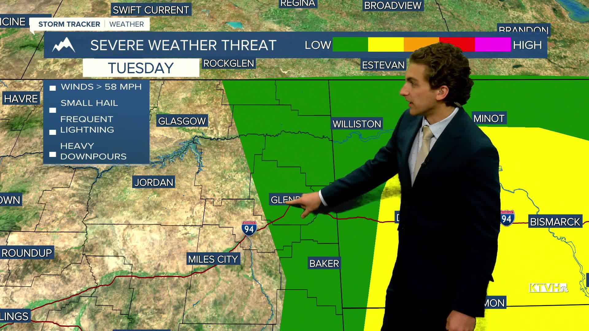


Thunderstorms continue to trek eastward today, leaving Helena with dry conditions. The severe threat will be concentrated along the eastern border of the state, shared with the Dakotas. Storms can produce gusty winds and hail.
Expect partly cloudy skies with highs in the upper 70s to low 80s in western Montana. Mainly dry weather will be in place today and tomorrow, but an isolated shower or thunderstorm in north-central Montana cannot be ruled out.
A cold front will come through the state on Thursday, bringing more thunderstorms and cooler air. This also has the potential to bring some more severe weather back to the state.
Highs on Thursday and Friday will only reach the 70s in the cold air behind the front.
The weekend will be much nicer, with warming temperatures and mostly sunny skies.
——————————————————————————————————————————
WEATHER ALERTS:
NONE
——————————————————————————————————————————
Helena Temperature Records Today:
High: 103 (1961)
Low: 42 (1940)
AVG: 88/56
Great Falls Temperature Records Today:
High: 106 (1961)
Low: 42 (1924)
AVG: 87/53
Have a great Tuesday!
Joey Biancone
Meteorologist


