


We remain in cold air today as some light snow will fall in the mountains, but Montana will be warming to near record-breaking highs next week.
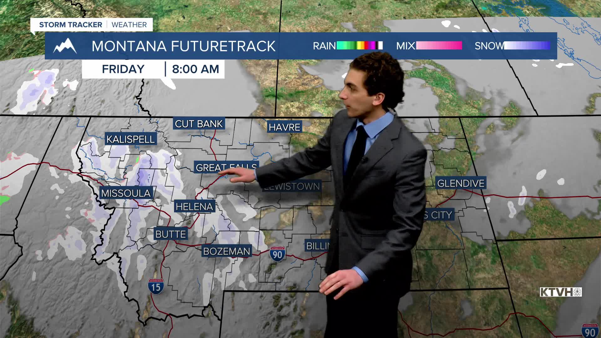
FRIDAY, JANUARY 9th: Mostly to partly cloudy conditions with some light snow showers in the mountains in the morning, drying up by mid-to-late afternoon. Expect at most 1-2 inches in the highest peaks. This will not be an impactful snow day. Highs will be slightly warmer than Thursday, but still on the colder side, reaching the upper 30s to low 40s.
There is the potential to see a few stronger gusts along the Rocky Mountain Front approaching 50-60 MPH. It will be windy once again in the Great Falls area with speeds near 30-40 MPH at times.
SATURDAY, JANUARY 10th: Higher pressure begins to settle in southwest Montana. This will usher in warmer air and drier weather. Highs will reach the 40s east of the Continental Divide. Helena will be trapped under a weak inversion, with stronger inversions west of the divide. Wind will continue to be breezy in north-central Montana.
SUNDAY, JANUARY 11th: High temperatures continue to warm into the upper 40s to low 50s. A period of stronger winds begins to move in the evening with a tightening pressure gradient, especially in the plains of north-central Montana. Dry conditions continue.
MONDAY, JANUARY 12th: A jet streak aloft will bring strong downslope winds to the plains and the Helena Valley. We will likely see a high wind watch issued over the weekend for central Montana. Gusts could exceed 60 MPH in north-central Montana.
The air continues to warm with the stronger wind. Highs will reach the 50s for most locations. There is the potential for record-breaking highs on Monday, Tuesday, and Wednesday.
LONG-RANGE FORECAST: Warmer and drier weather continues through Wednesday of next week. Some areas could even approach the low 60s for highs, especially on Wednesday. A brief cooler and wetter pattern looks to return toward the end of the workweek, but there is still some uncertainty on just how far west the cold air and precipitation set up.
——————————————————————————————————————————
WEATHER ALERTS:
A WIND ADVISORY continues for the Beartooth Foothills and Livingston Area until 11 AM Saturday
——————————————————————————————————————————
Helena Temperature Records Today:
High: 60 (1953)
Low: -31 (1888)
AVG: 32/13
Great Falls Temperature Records Today:
High: 63 (1933)
Low: -27 (1909)
AVG: 35/15


