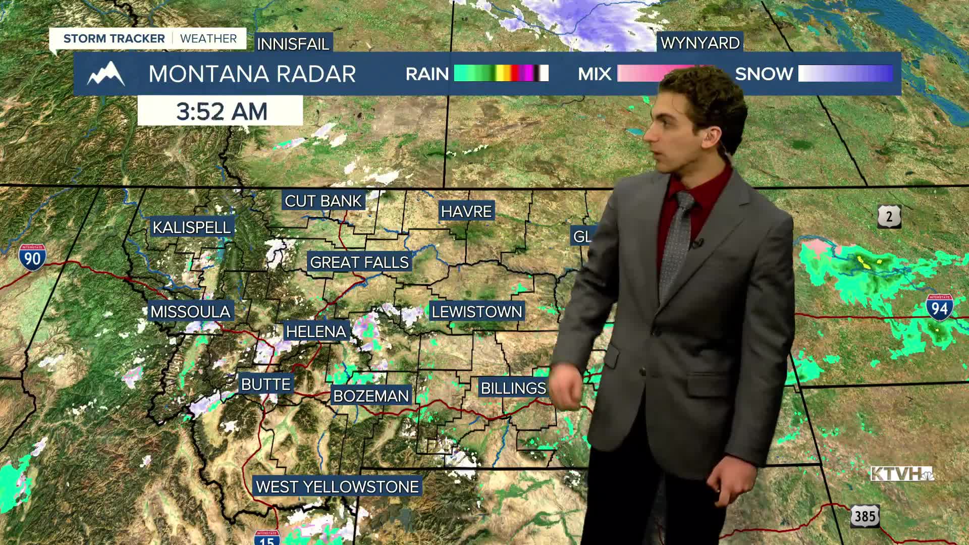


Scattered showers are moving through north-central and southwest Montana this morning along a slow-moving cold front. Areas of lower visibility and slick roads are possible, along with colder temperatures.
Rain and snow will continue to trek towards the south through the rest of the day. Southwest Montana will see on-and-off showers until activity subsides tonight.
Highs across the state will only reach the low 40s.
Valleys will slowly warm into the upper 40s to low 50s by the end of the week, while the plains will warm to the upper 50s. Stronger winds are expected to develop along the Rocky Mountain Front by Friday.
A cold front bringing significantly colder air will arrive early next week. This pattern could also lead to some snow, but long-range forecast models are not in agreement on the timing and placement of the trough at present, which would significantly influence the amount of precipitation we see.
——————————————————————————————————————————
WEATHER ALERTS:
A DENSE FOG ADVISORY continues for central and southeast Phillips, Valley, Daniels, Roosevelt, McCone, Northern Phillips, Valley, and Richland Counties until 9 AM Wednesday
A DENSE FOG ADVISORY continues for Sheridan County until 9 AM Wednesday
——————————————————————————————————————————
Helena Temperature Records Today:
High: 69 (1897)
Low: -15 (1900)
AVG: 41/22
Great Falls Temperature Records Today:
High: 71 (1932)
Low: -23 (1921)
AVG: 42/23
