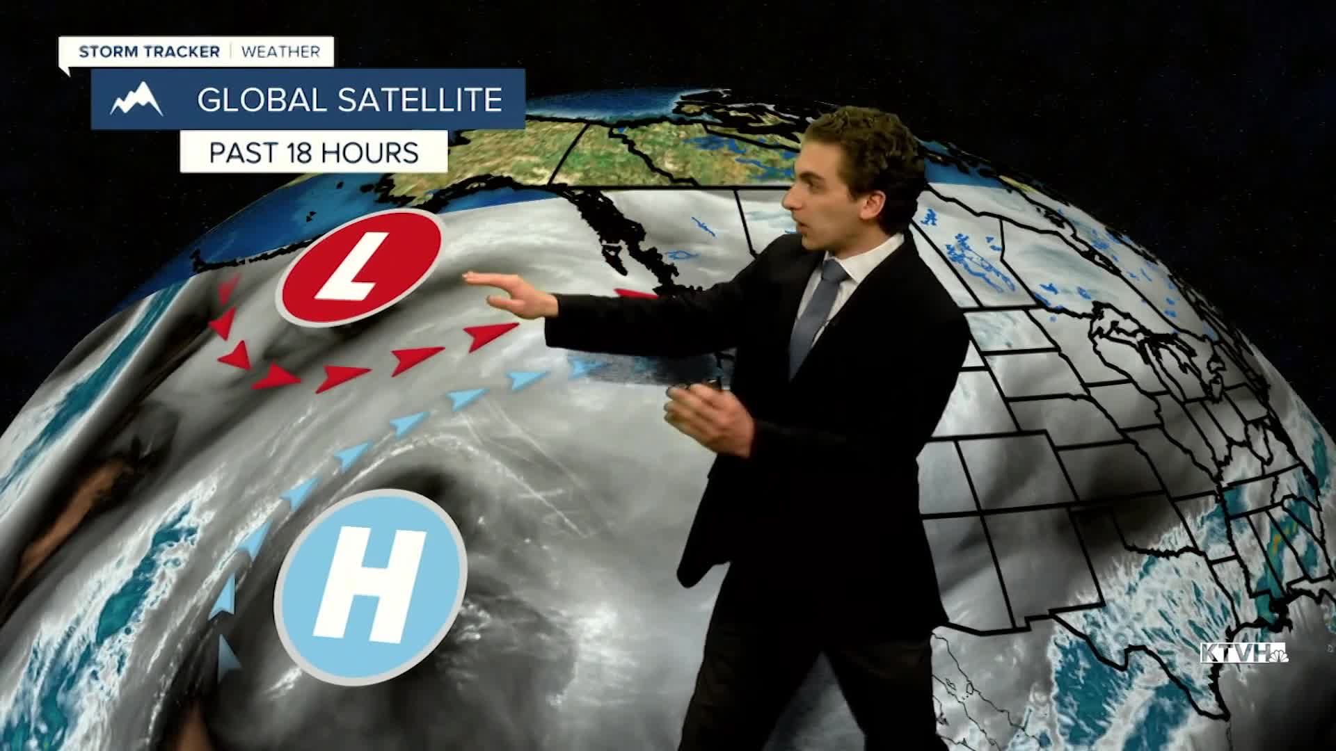


A prolonged mountain snow event is shaping up this evening across western Montana. We will be measuring totals in feet instead of inches in the higher elevations.
An atmospheric river setup will be transporting plenty of moisture to the state over the next week, giving us plenty of opportunities to receive snow in the higher elevations. Lower elevations will see mixed precipitation with wind.
Totals in the Helena area will generally be less than an inch. We will see some light snow come through tonight. There is the potential for some snow squalls to come through our neck of the woods on Friday evening.
Driving conditions across the state will be dangerous as icing may occur overnight. It will be especially dangerous over mountain passes with heavy snowfall rates reducing visibility. I'd expect most passes to receive around 6-12" of snow.
Most of the heavy snow comes through tonight and tomorrow. There will be mountain snow showers Saturday afternoon and Sunday, mainly west of the Continental Divide.
The wind will remain gusty through most of the week near the Continental Divide. In Helena, expect winds to peak between 10-20 MPH through the weekend, with isolated gusts around 30 MPH.
Another round of moisture will move over the state on Tuesday and Wednesday, bringing more mountain snow and lower elevation rain.
——————————————————————————————————————————
WEATHER ALERTS:
A WINTER STORM WARNING continues for the Absaroka/Beartooth Mountains and Crazy Mountains until 2 PM Saturday
A WINTER STORM WARNING continues for the Big Belt, Bridger and Castle Mountains, Little Belt and Highwood Mountains, and Gallatin and Madison County Mountains and Centennial Mountains until 2 PM Saturday
A WINTER STORM WARNING continues for Highway 11 Pierce to Headquarters, Highway 12 Lowell to Lolo Pass, Elk River, Elk City, Pierce, and Dixie until 4 PM Saturday
A WINTER STORM WARNING continues for Highway 93 Sula to Lost Trail Pass and Lolo Pass until 5 PM Saturday
A WINTER STORM WARNING continues for Highway 83 Seeley Lake to Condon, I-90 East Missoula to Bearmouth, and Highway 200 Bonner to Greenough until 5 PM Saturday
A WINTER STORM WARNING continues for I-90 Lookout Pass to Haugan, Highway 200 Thompson Falls to Plains, Highway 200 Trout Creek to Heron, and Evaro Hill until 5 PM Saturday
A WINTER STORM WARNING continues for Northwest Beaverhead County until 5 PM Saturday
A WINTER WEATHER ADVISORY continues for Dawson, Eastern Roosevelt, and Richland Counties until 5 AM Friday
A WINTER WEATHER ADVISORY continues for the Missoula and Bitterroot Valley until 11 AM Friday
A WINTER WEATHER ADVISORY continues for Highway 12 Garrison to Elliston, MacDonald Pass, Butte, Georgetown Lake, and Homestake Pass until 11 AM Friday
A WINTER WEATHER ADVISORY continues for the Elkhorn and Boulder Mountains until 11 AM Friday
A WINTER WEATHER ADVISORY continues for the Gallatin Valley until 11 AM Friday
A WINTER WEATHER ADVISORY continues for the Flathead Valley, Mission Valley, Polson, and Flathead Lake until 11 AM Friday
A WINTER WEATHER ADVISORY continues for the Pryor/Northern Bighorn Mountains until 2 PM Friday
A WINTER WEATHER ADVISORY continues for Absaroka Mountains and Yellowstone National Park until 2 PM Saturday
A WINTER STORM WATCH has been issued for the Continental Divide along the Rocky Mountain Front from Friday afternoon until Sunday morning
A WINTER STORM WATCH has been issued for Marias Pass, Highway 83 Bigfork to Swan Lake, Polebridge, Glacier National Park, Bad Rock Canyon, and Essex from Friday afternoon until Sunday morning
——————————————————————————————————————————
Helena Temperature Records Today:
High: 64 (1918)
Low: -24 (1972)
AVG: 35/17
Great Falls Temperature Records Today:
High: 62 (1987)
Low: -23 (2013)
AVG: 38/19


