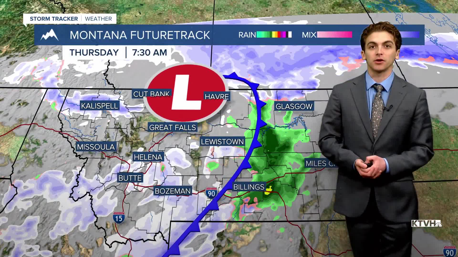


THURSDAY, APRIL 16TH: It is a chilly morning for parts of north-central Montana. Some areas have dipped into the teens and 20s. Helena will stay in the 30s for most of the day, topping off at 41 degrees later this afternoon.
Although the Helena Valley did not see much outside of wind with the cold frontal passage last night, scattered snow showers will develop early this afternoon and stick around through the evening. A few of these showers could produce a quick burst of heavy snow, even in lower elevations.
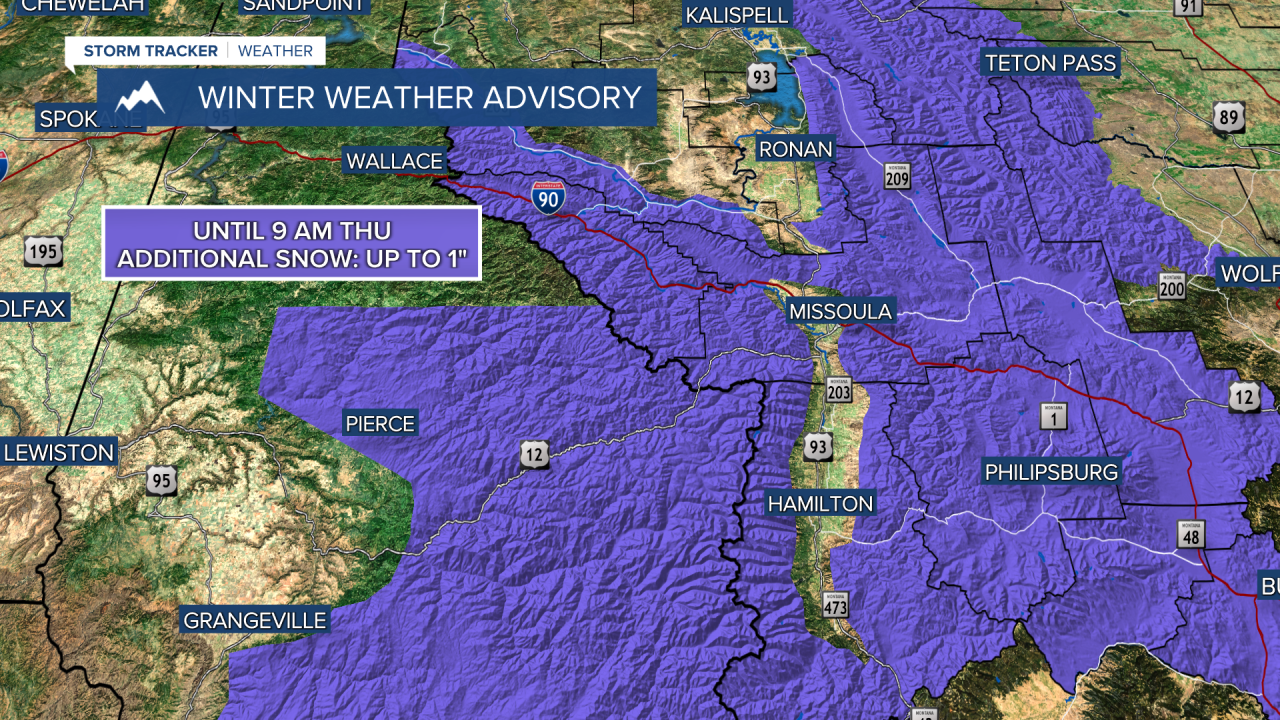
FRIDAY, APRIL 17TH: Colder air sticks around to close out the workweek. Atmospheric instability in the afternoon will pop numerous snow showers over the mountains near the Continental Divide. Snow accumulation will be minimal, but a few snow showers could produce heavy bursts of snow for a short time. High temperatures will reach the 40s.
SATURDAY, APRIL 18TH: Clouds and precipitation will move out by Saturday morning. Morning lows will be cold with temperatures in the 20s. Afternoon temperatures will warm up to the 50s and low 60s under mostly sunny conditions. Winds will be out of the southwest at 5-15 MPH.
SUNDAY, APRIL 19TH: Temperatures continue to warm on Sunday under mostly sunny conditions and light southwest winds. Highs will reach the upper 60s to low 70s.
LONG-RANGE FORECAST: The weekend will be warmer and drier. Another storm system will move in towards the middle of next week.
——————————————————————————————————————————
WEATHER ALERTS:


——————————————————————————————————————————
Helena Temperature Records Today:
High: 80 (1994)
Low: 6 (1895)
AVG: 57/32
Great Falls Temperature Records Today:
High: 82 (1984)
Low: 8 (2022)
AVG: 55/30


