


Another mostly calm weather day is expected across the state. Highs will reach the upper 80s to low 90s. We can expect increasing cloud cover to increase throughout this afternoon and evening across western Montana. A few showers and storms may pass through later tonight, but overall coverage is expected to remain isolated.
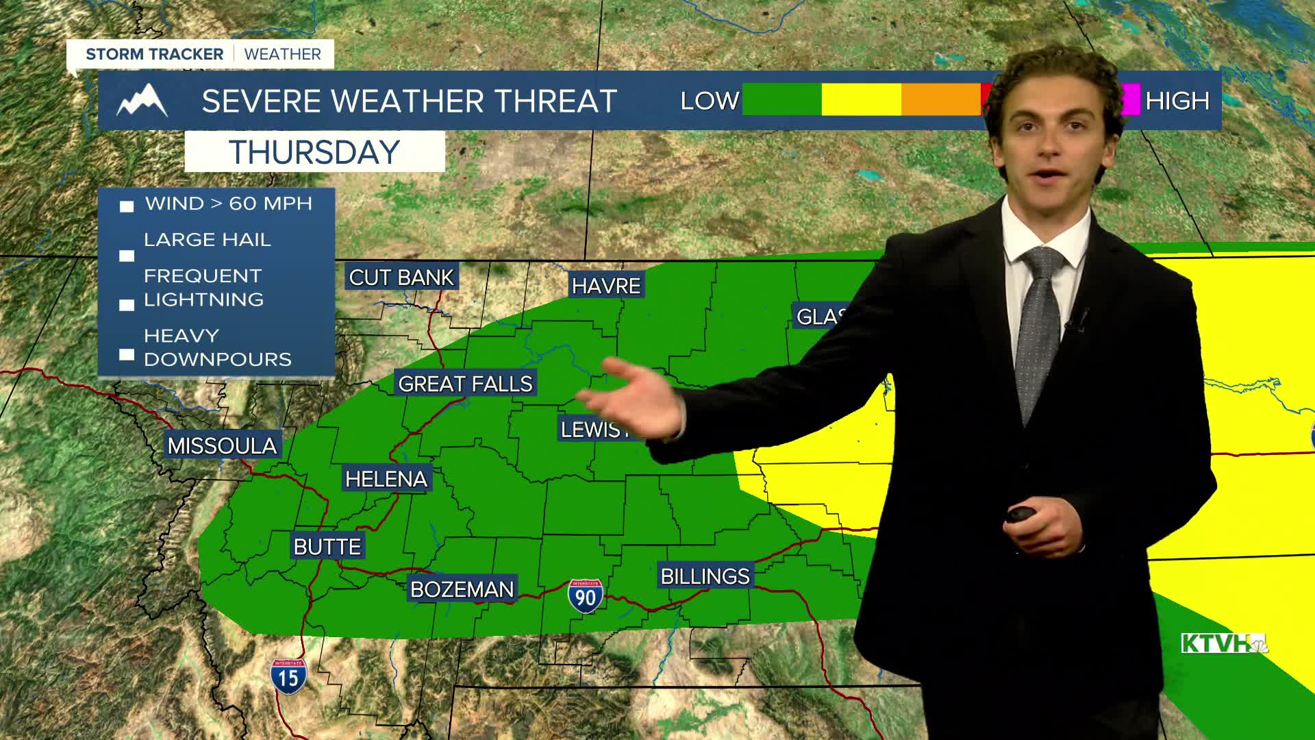
Severe weather returns tomorrow as a cold front enters the state. Hazards will be damaging winds, large hail, and heavy rain. Storms will form in the early afternoon near Helena, Great Falls, and Havre and move eastward through the night.
Rain and thunderstorms will last into Friday, especially in the plains.
Highs on Thursday and Friday will only reach the 70s in the cold air behind the front. It will be a bit breezy as well, with gusts up to 20-30 MPH.
The weekend will be much nicer, with warming temperatures and mostly sunny skies.
Next week will be much warmer and drier as a ridge of high pressure builds over the region. Highs reach the 90s by the middle of the week.
——————————————————————————————————————————
WEATHER ALERTS:
A FLOOD ADVISORY continues for Blaine County until 1:15 PM Wednesday
——————————————————————————————————————————
Helena Temperature Records Today:
High: 103 (1900)
Low: 43 (1996)
AVG: 88/56
Great Falls Temperature Records Today:
High: 104 (1983)
Low: 41 (1924)
AVG: 86/52
Have a great Wednesday!
Joey Biancone
Meteorologist


