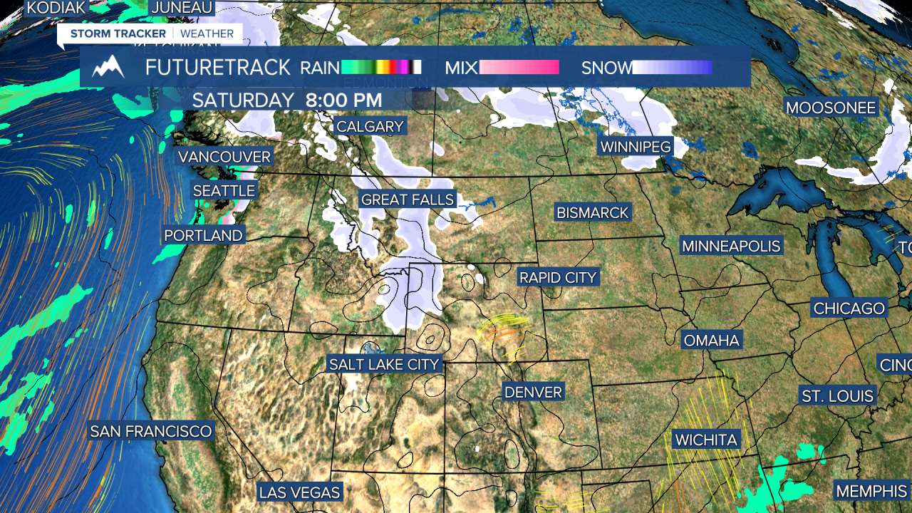
Temperatures plummeted below zero in some areas on Wednesday morning but the pendulum is swinging warmer for the next few days. It's the warm before the storm. Next week at this point a major snowstorm will be hitting Montana and temperatures will likely plummet below zero again. So until then...Thursday will be another pleasant February day with some of the snow melting as highs reaching the 30s to around 40 under mostly sunny skies. Friday will be mostly cloudy, breezy and mild with highs in the 30s and 40s. It's Presidents' Day Weekend and the weather will get stormy by the official holiday. Saturday will be mostly cloudy with snow in the mountains. This snow will increase in the lower elevations late in the day, through Saturday night into Sunday morning. A light accumulation of up to a couple inches is possible in the lower elevations by Sunday morning. Sunday will be mostly cloudy with highs in the 30s and 40s. Snow will become more widespread on Monday and Monday night. Several inches of snow are likely for most areas through Monday into Tuesday. Next week looks cold and active with periods of snow throughout the week. Late Tuesday through Wednesday could be the biggest snowstorm of the year with much of Montana seeing snow totals upwards of a foot or more followed by arctic air and a chance at subzero temperatures.
Curtis Grevenitz
Chief Meteorologist


