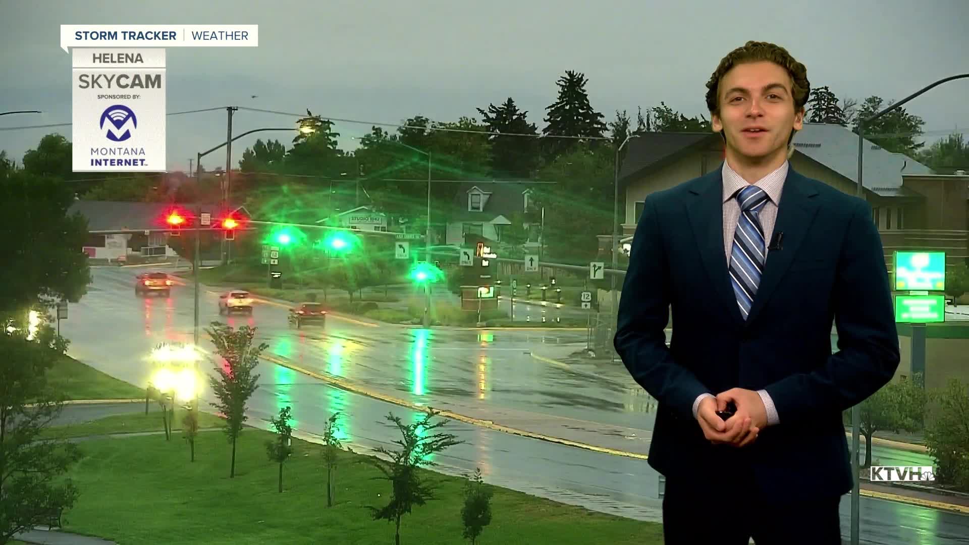


It's a soggy morning across western Montana as monsoonal moisture continues its slow push into the state. On and off showers and thunderstorms can be expected for the rest of the day under a blanket of clouds.
The Flash Flood Watches in southwest Montana have expired, but a few isolated thunderstorms later this afternoon and Friday could produce locally heavy rainfall.
Highs today will only reach the 60s and 70s across western Montana, as cloud cover and rain will keep highs cooler than normal. Eastern Montana will still be in the 80s.
There will be more showers and storms around on Friday as well. I expect a little more convective thunderstorm activity than today. It will still be a relatively cool day with most of the state having highs in the 70s.
Labor Day Weekend is looking up, with temperatures expected to warm into the 70s and 80s under mostly dry conditions. However, I can't rule out an isolated shower or storm across the state.
A Canadian cold front looks to move into the area after Labor Day. This will cool off temperatures once again and bring some wet weather back to the state.
——————————————————————————————————————————
WEATHER ALERTS:
NONE
——————————————————————————————————————————
Helena Temperature Records Today:
High: 97 (2012)
Low: 36 (1977)
AVG: 81/50
Great Falls Temperature Records Today:
High: 99 (2012)
Low: 35 (1918)
AVG: 79/48
Enjoy the rainy day!
Joey Biancone
Meteorologist


