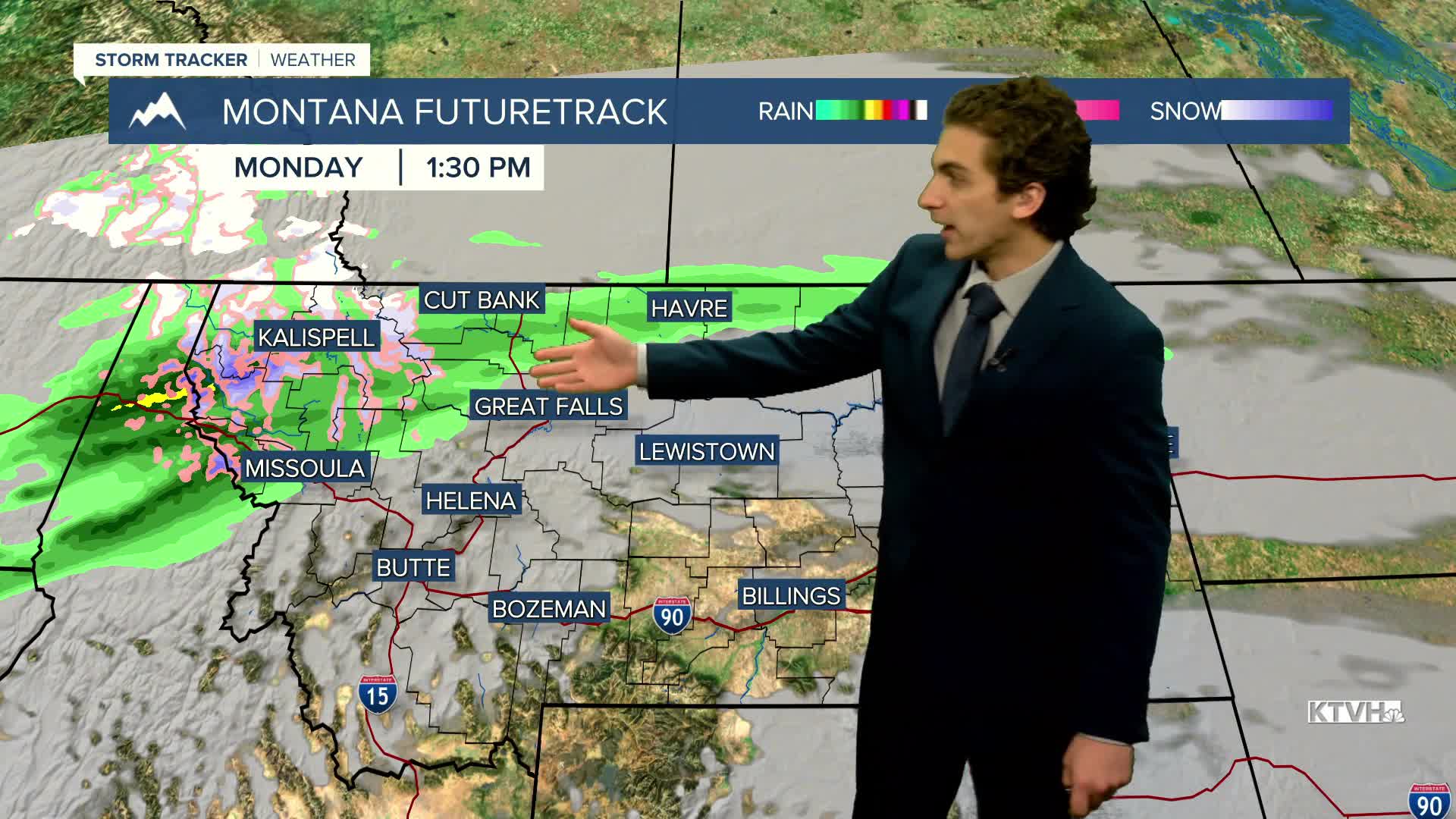


This week starts off on a cloudy note, with some rain showers possible this afternoon and evening. Several small-scale weather systems move through Montana this week, bringing rain, snow, and wind.
Highs on the first of November broke daily records. A lot of us reached the low to mid-70s! Unfortunately, that warmth did not last into Sunday and won't return this week.
Afternoon temperatures will only reach the upper 40s to low 50s across our area under mostly cloudy skies. Several inches of snow could fall near Marias Pass. Snow is expected to be mainly confined to the Glacier area through Tuesday.
Tuesday afternoon should be dry. Temperatures will be around the same as today. Some more wet weather will move into the area late Tuesday night into Wednesday.
A cold front will come through our area on Wednesday, bringing gusty winds back to the forecast. Winds will be the strongest on Thursday and Friday.
A nicer weekend is in store, although cooler. It will be partly cloudy with less wind and no precipitation.
——————————————————————————————————————————
WEATHER ALERTS:
NONE
——————————————————————————————————————————
Helena Temperature Records Today:
High: 69 (1983)
Low: -8 (1991)
AVG: 48/27
Great Falls Temperature Records Today:
High: 72 (1962)
Low: -9 (1935)
AVG: 49/27


