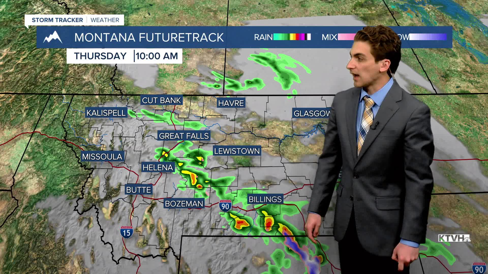


THURSDAY, MAY 7TH: Showers and thunderstorms came through the area this morning, which even produced heavy rain near downtown Helena. Scattered showers and thunderstorms will again move through the area this afternoon and evening. A few of these storms could produce gusty winds and heavy downpours
Morning temperatures are already 10 to 25 degrees warmer than yesterday morning, although afternoon highs won't be as warm as they were yesterday. Most areas will have highs in the 60s under mostly cloudy skies. Winds will be out of the west at 5 to 15 mph.
FRIDAY, MAY 8TH: Most of the day will be dry but partly to mostly cloudy. Highs will reach the 70s, with winds from the west at 10 to 20 MPH. Some showers and thunderstorms will move in late Friday night to north-central Montana.
SATURDAY, MAY 9TH: Expect mostly cloudy skies in the morning with isolated rain showers, mainly north and east of Helena. It will turn partly cloudy and dry by the afternoon. Highs will reach the mid to upper 60s. Winds will be out of the west at 10 to 20 MPH.
MOTHER'S DAY: It will be a beautiful day to share with mom! High temperatures will reach the upper 70s and even low 80s under mostly sunny to partly cloudy skies. It will be dry with winds out of the west at 5 to 15 mph.
LONG-TERM FORECAST: A ridge of high pressure builds next week, helping warm and mainly dry weather stick around.
——————————————————————————————————————————
WEATHER ALERTS:


——————————————————————————————————————————
Helena Temperature Records Today:
High: 86 (1992)
Low: 22 (1885)
AVG: 64/39
Great Falls Temperature Records Today:
High: 86 (1987)
Low: 24 (1892)
AVG: 62/35


