


A HIGH WIND WARNING continues for parts of central Montana into Thursday.
A WINTER STORM WARNING has been issued for northeast Montana through Thursday.
A FLOOD WATCH continues for northwestern Montana through Thursday.
An AVALANCHE WARNING continues for the backcountry of northwest Montana.
A WINTER WEATHER ADVISORY has been issued for Thursday for most of Montana.
A WINTER STORM WATCH has been issued for most of central and eastern Montana for Friday into Saturday morning.
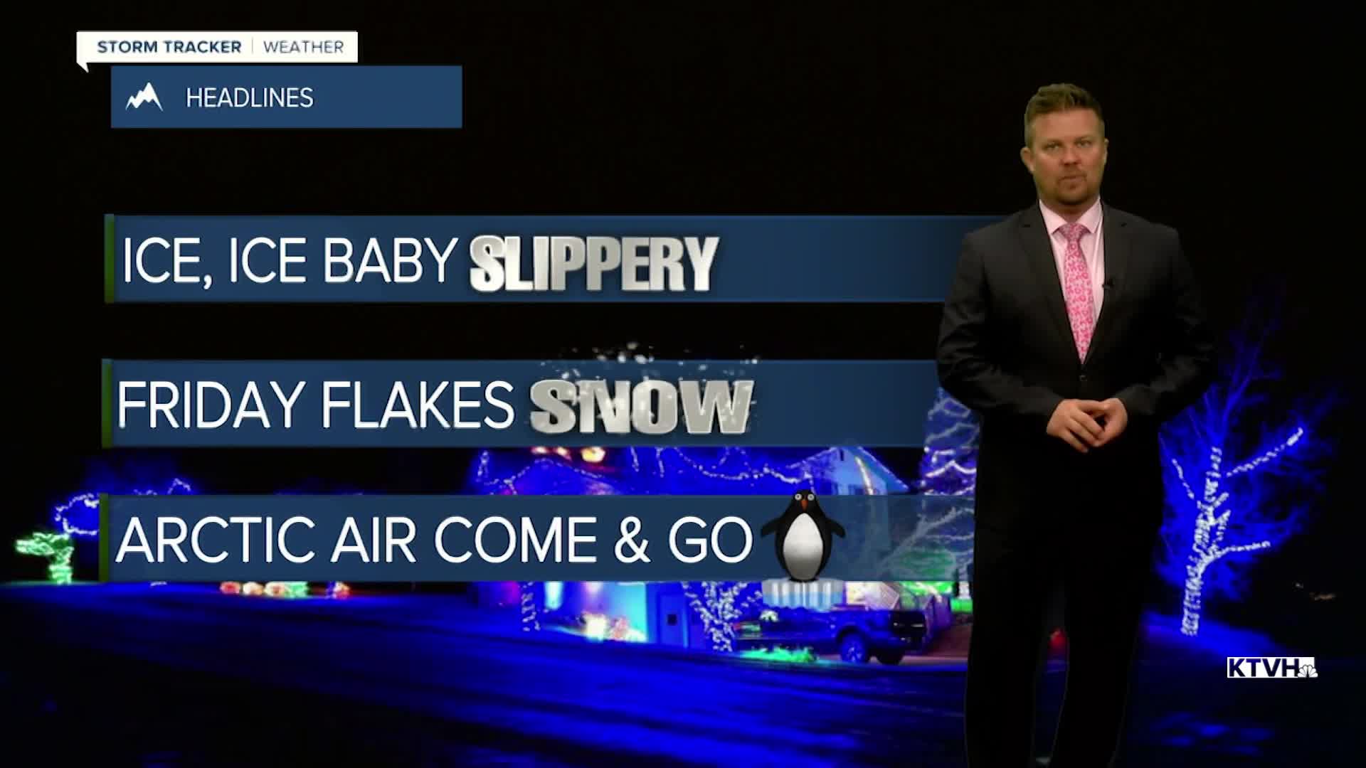
It's been a week of wild weather already and this active pattern will continue as snow, freezing rain and arctic air will be moving into Montana. An atmospheric river continues to deliver an incredible amount of moisture and mild Pacific air, but Thursday an arctic airmass will move south into the state. The atmospheric river will collide with the colder air, producing wintry precipitation for most of the state. On Thursday, rain will start changing back to snow as an arctic airmass moves south through the state. That front will be working across northern Montana in the morning, central Montana in the middle of the day, and southern areas in the evening. Temperatures will start out mild in the 30s and 40s but fall throughout the day. Some areas will drop below zero by Thursday night. A flash freeze is possible as the temperatures will drop quickly. Areas of snow will continue Thursday night and Friday. Several inches up to a foot will accumulate across central and northern Montana. Southern Montana will be warmer with less snow. Some snow will continue into Saturday morning. Northeast Montana will start out in the arctic air with temperatures below zero, but southwest Montana will stay warm in the 40s for highs. The arctic air will retreat through Sunday into early next week, with more Pacific air moving in. However, this extremely variable weather will likely return for the middle to end of next week. It's going to be a wild weather ride, possibly into Christmas time.
Have a good day,
Curtis Grevenitz
Chief Meteorologist
