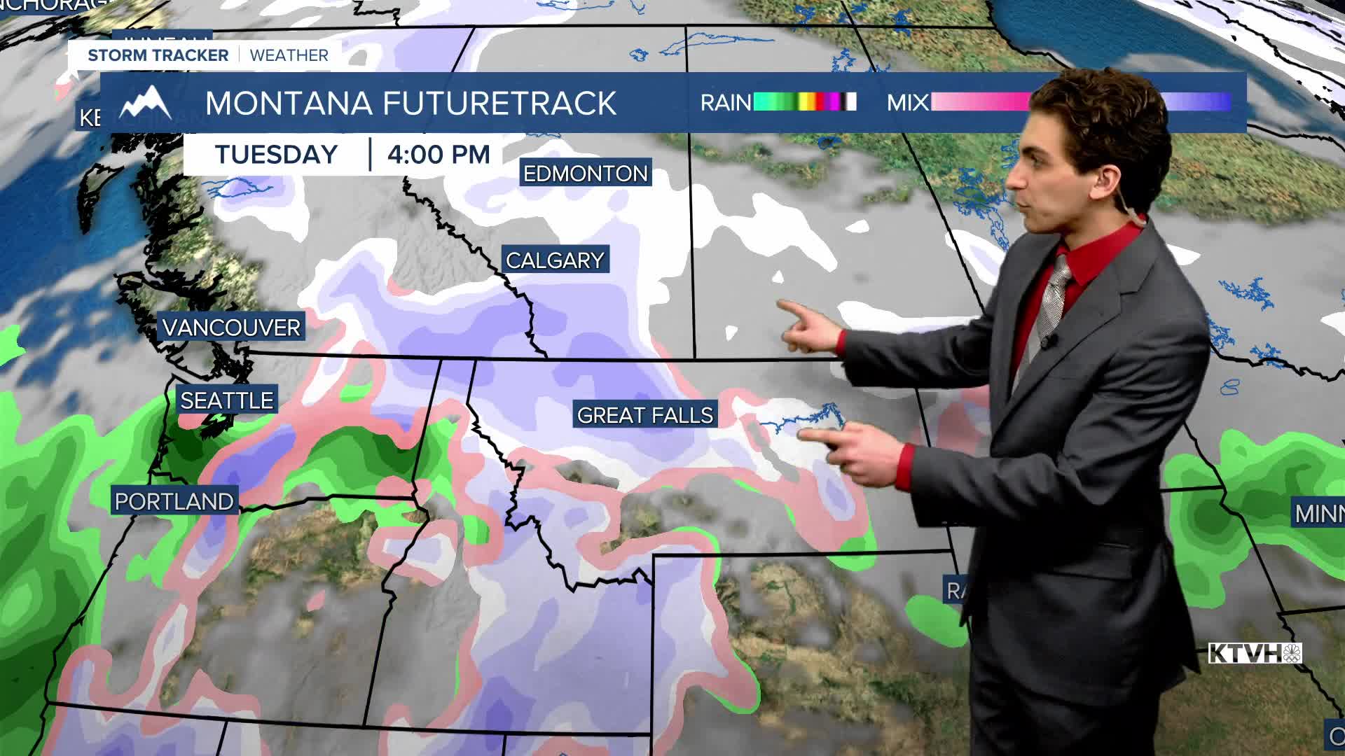


The colder, snowy weather continues to shift back toward the western half of the country. Montana will receive more beneficial snow next week.
WEDNESDAY, FEBRUARY 11TH: A cutoff low-pressure system will pass to our south, bringing snow back to states like Colorado, Utah, Wyoming, and Idaho. Snow will make its way into southwest Montana and possibly some isolated showers as far north as Bozeman. But expect a mostly dry day for the majority of us. Highs will reach the 40s again under partly to mostly sunny skies.
Some areas of freezing fog may form near Helena with colder temperatures reaching the dew point. Expect frost and isolated icy surfaces.
THURSDAY, FEBRUARY 12TH: Thursday will be a really nice day. Highs approach the 40s and low 50s across the state under mostly sunny skies. Wind will begin to pick up in north-central Montana in the afternoon and evening. Gusts could approach 40 MPH near the Rocky Mountain Front.
FRIDAY, FEBRUARY 13TH: Gusty winds will pick up in the plains. Winds will approach 50 MPH near the Rocky Mountain Front. Highs will also reach the 40s and low 50s. Expect cloud cover to increase throughout the day.
VALENTINE'S DAY: We will still have above-normal temperatures on Saturday, but with a little more cloud cover. There will be some rain and snow in the mountains of northwest Montana, as far east as Glacier National Park. Most of the lower elevations will be dry.
LONG-RANGE FORECAST: Temperatures will be above average into the weekend, but more rain and snow are expected by the early and middle parts of next week.
——————————————————————————————————————————
WEATHER ALERTS:
NONE
——————————————————————————————————————————
Helena Temperature Records Today:
High: 65 (1961)
Low: -29 (1905)
AVG: 36/17
Great Falls Temperature Records Today:
High: 62 (2005)
Low: -35 (1899)
AVG: 36/15
