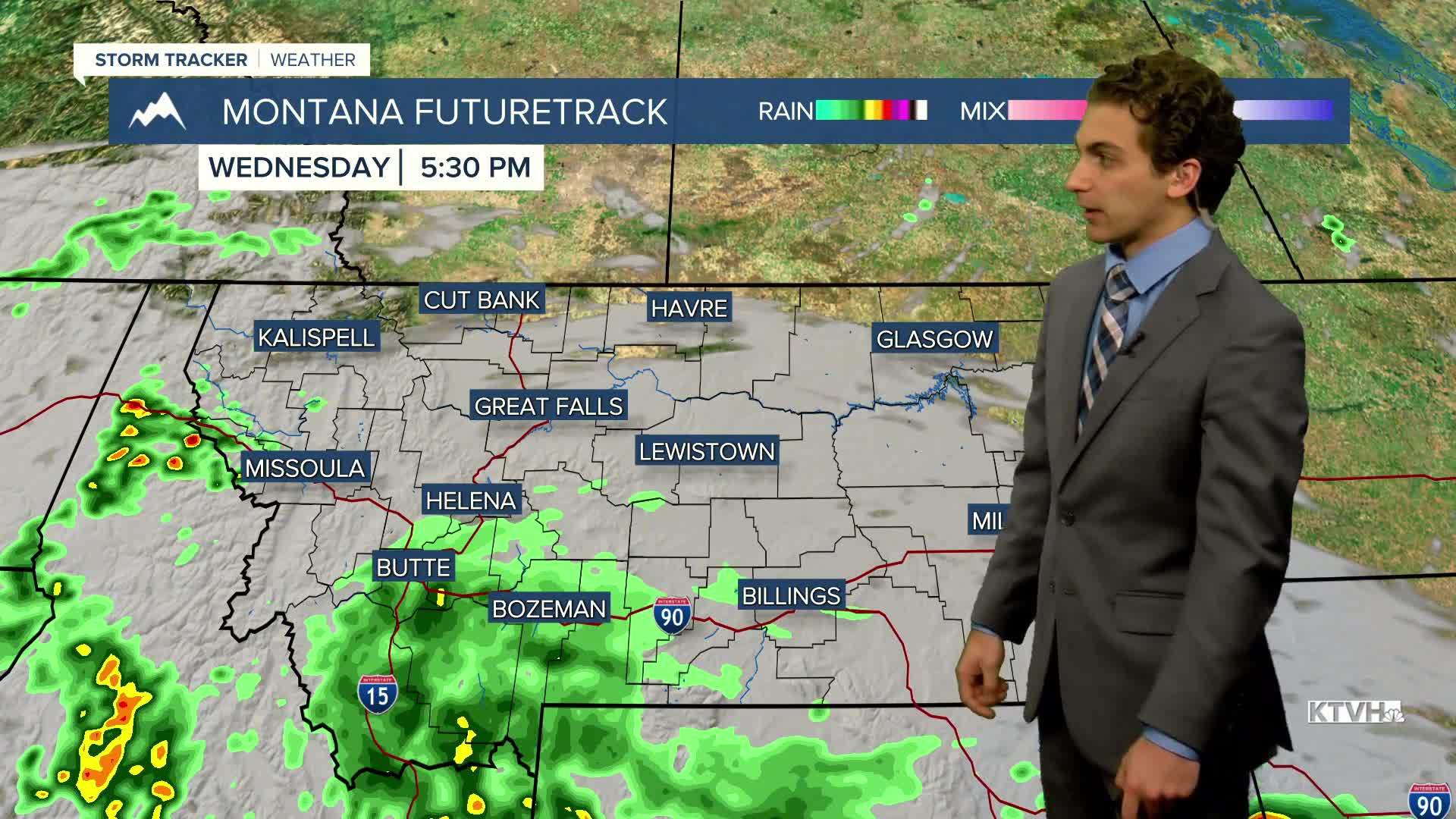


Monsoonal moisture is wrapping around into Montana over the rest of this week, delivering rain to areas ravaged by wildfires over the past couple of weeks. A little rain is beneficial, but too much is not.
Eastern Montana will stay dry and mostly sunny today. Increasing cloud cover is expected for most of western Montana. Almost everybody will reach highs in the 80s. The first round of heavier showers and thunderstorms arrives tonight in southwest Montana.
Several waves of showers and storms enter the state throughout the rest of the workweek. Highs drop into the 60s and 70s across western Montana, especially on Thursday and Friday.
Labor Day weekend is looking overall drier and warmer, but a few storms may be around heading into next week.
——————————————————————————————————————————
WEATHER ALERTS:
A FLASH FLOOD WATCH has been issued for the Missouri Headwaters, Madison River Valley, Beaverhead and Western Madison below 6000ft, Ruby Mountains and Southern Beaverhead Mountains, Gallatin and Madison County Mountains, and Centennial Mountains from Wednesday afternoon until Wednesday evening
——————————————————————————————————————————
Helena Temperature Records Today:
High: 97 (2010)
Low: 35 (1992)
AVG: 81/50
Great Falls Temperature Records Today:
High: 96 (2010)
Low: 35 (1892)
AVG: 80/48
Have a great Tuesday!
Joey Biancone
Meteorologist


