


After a storm system dumped several inches of snow around Helena on Sunday and Monday, we remain in an active pattern with more rain and snow on the way for some locations.
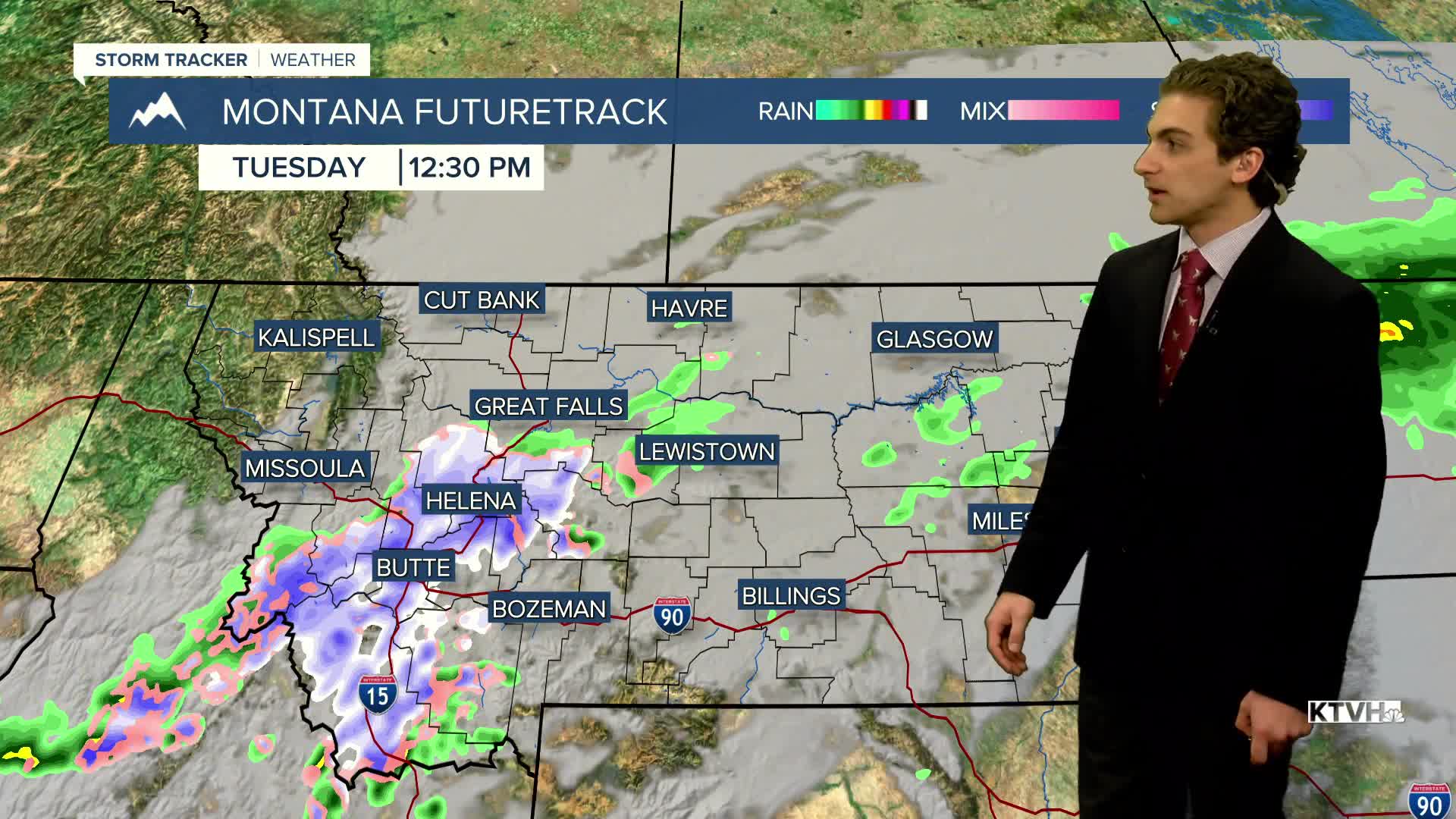
Some snow showers are moving through southwest Montana this morning. There are also areas of patchy freezing fog. Cloudy conditions continue today with highs in the upper 30s and low 40s.
A cut-off low-pressure system passes through Montana on Wednesday evening and Thursday. Rain and snow showers will redevelop along and east of Interstate 15. Heavy snow could fall in the Beartooth Mountains. We could see another round of wet snow around Helena, but we are not expecting accumulations to rival Sunday and Monday at this time.
Overall, drier and warming conditions take hold towards the end of the week. Temperatures return to the 50s and 60s by the weekend with a west wind picking back up.
——————————————————————————————————————————
WEATHER ALERTS:
A LAKE WIND ADVISORY continues for Fort Peck Lake until noon Tuesday
——————————————————————————————————————————
Helena Temperature Records Today:
High: 81 (1958)
Low: 12 (1899)
AVG: 59/34
Great Falls Temperature Records Today:
High: 81 (2024)
Low: 12 (1899)
AVG: 58/33


