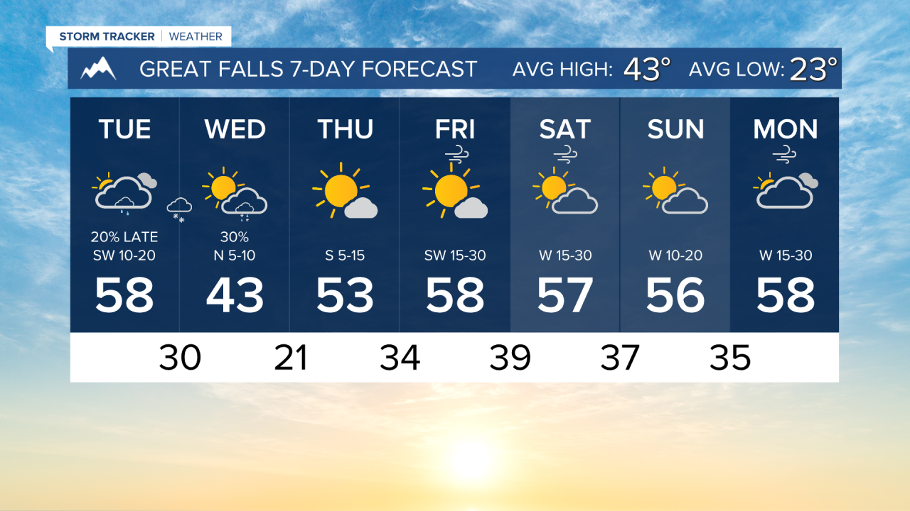


Aside from some rain and snow showers moving through today and tomorrow, mild and dry conditions stick around through the rest of the week. Big changes are coming for the week of Thanksgiving.
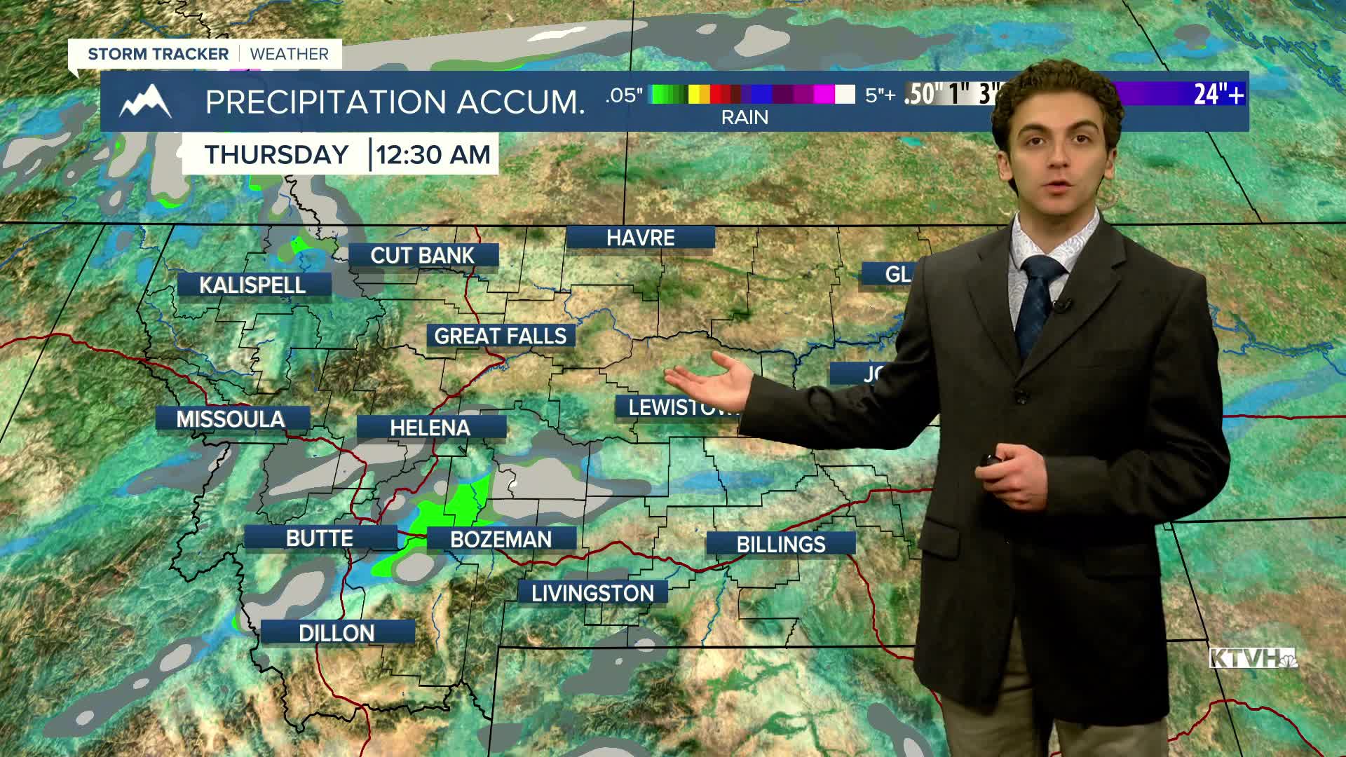
Highs today will reach the 50s across the state. A few rain showers will develop along a cold front tonight, converting to light snow tomorrow morning. Little to no accumulation is expected. There may be up to an inch in isolated locations along the Continental Divide and the Big Belt Mountains.
One day of colder air will come on Wednesday, when most cities will have afternoon temperatures in the low 40s.
Valleys will slowly warm into the upper 40s to low 50s by the end of the week, while the plains will warm to the upper 50s. Stronger winds are expected to develop along the Rocky Mountain Front by Friday.
A cold front bringing significantly colder air will arrive early next week. This pattern could also lead to some snow, but long-range forecast models are not in agreement on the timing and placement of the trough at present, which would significantly influence the amount of precipitation we see.
——————————————————————————————————————————
WEATHER ALERTS:
NONE
——————————————————————————————————————————
Helena Temperature Records Today:
High: 71 (2008)
Low: -17 (1881)
AVG: 42/22
Great Falls Temperature Records Today:
High: 67 (2008)
Low: -25 (1903)
AVG: 43/23