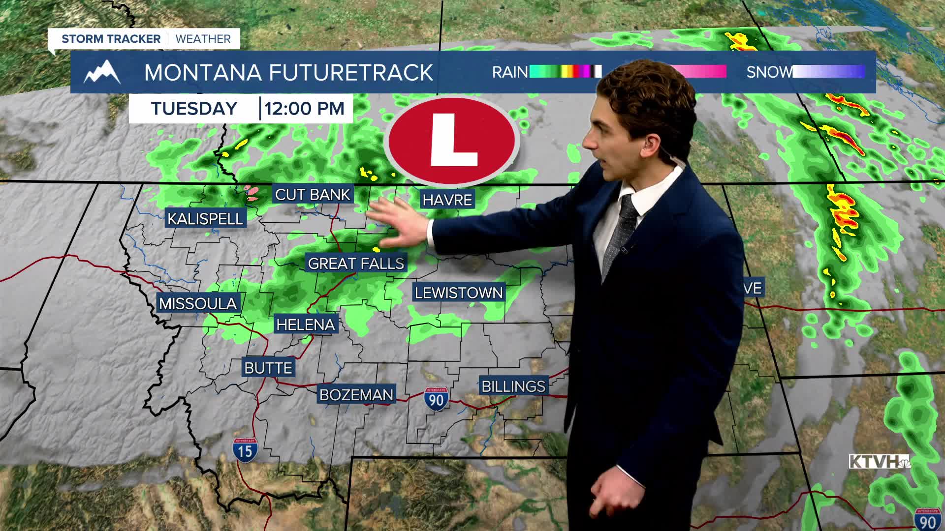


TUESDAY, JUNE 2ND: This will be the last day of widespread showers before the storm system moves out. Expect rain for most areas through the morning, becoming more scattered by the afternoon. Some areas may pick up to an additional 0.50" of rain, but most stay below that.
High temperatures will be on the cooler side again, only reaching the 50s and 60s under cloudy skies.
WEDNESDAY, JUNE 3RD: With the storm moving out by the morning, clearer skies should be present. With all of the low-level moisture, lows in the 30s and 40s, and light winds, expect fog to form in some areas.
Partly cloudy conditions will allow temperatures to warm into the upper 60s by the afternoon.
THURSDAY, JUNE 4TH: Another small disturbance moves through the state, triggering scattered thunderstorms. These could produce localized heavy downpours and potentially some gusty winds. High temperatures reach the upper 60s to low 70s under partly cloudy skies.
FRIDAY, JUNE 5TH: It will be a beautiful day with highs in the upper 70s to low 80s under mostly sunny skies.
LONG-RANGE FORECAST: Scattered showers and thunderstorms will form over the weekend, but we are not expecting a washout this time around.
——————————————————————————————————————————
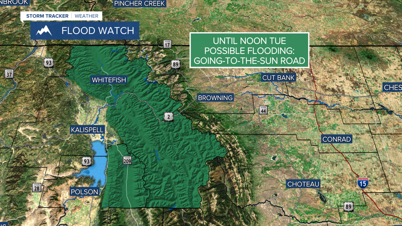
WEATHER ALERTS:


——————————————————————————————————————————
Helena Temperature Records Today:
High: 92 (2021)
Low: 33 (1943)
AVG: 71/46
Great Falls Temperature Records Today:
High: 89 (1986)
Low: 32 (1984)
AVG: 69/44


