


Yet another warm, dry, and breezy day is forecasted for Thursday as a ridge of high pressure keeps summer around a little longer.
Expect another sunny day with high temperatures in the 80s for most of the state. A bit of wind picks up in the afternoon, especially in north-central Montana.
A cold front comes through the Helena area on Friday morning. Although we stay dry, we will start the day off partly cloudy and breezy. Max wind gusts, especially around the Rocky Mountain Front, could be as high as 40-50 MPH, but generally expect 20-30 MPH winds around most of the state.
Afternoon highs cool a bit tomorrow down into the 70s behind the front.
The weekend will be warmer once again with highs in the low to mid 80s. Partly to mostly sunny skies will be present.
A weather system starts to enter the region from the Pacific on Monday, bringing isolated showers and thunderstorms to western Montana.
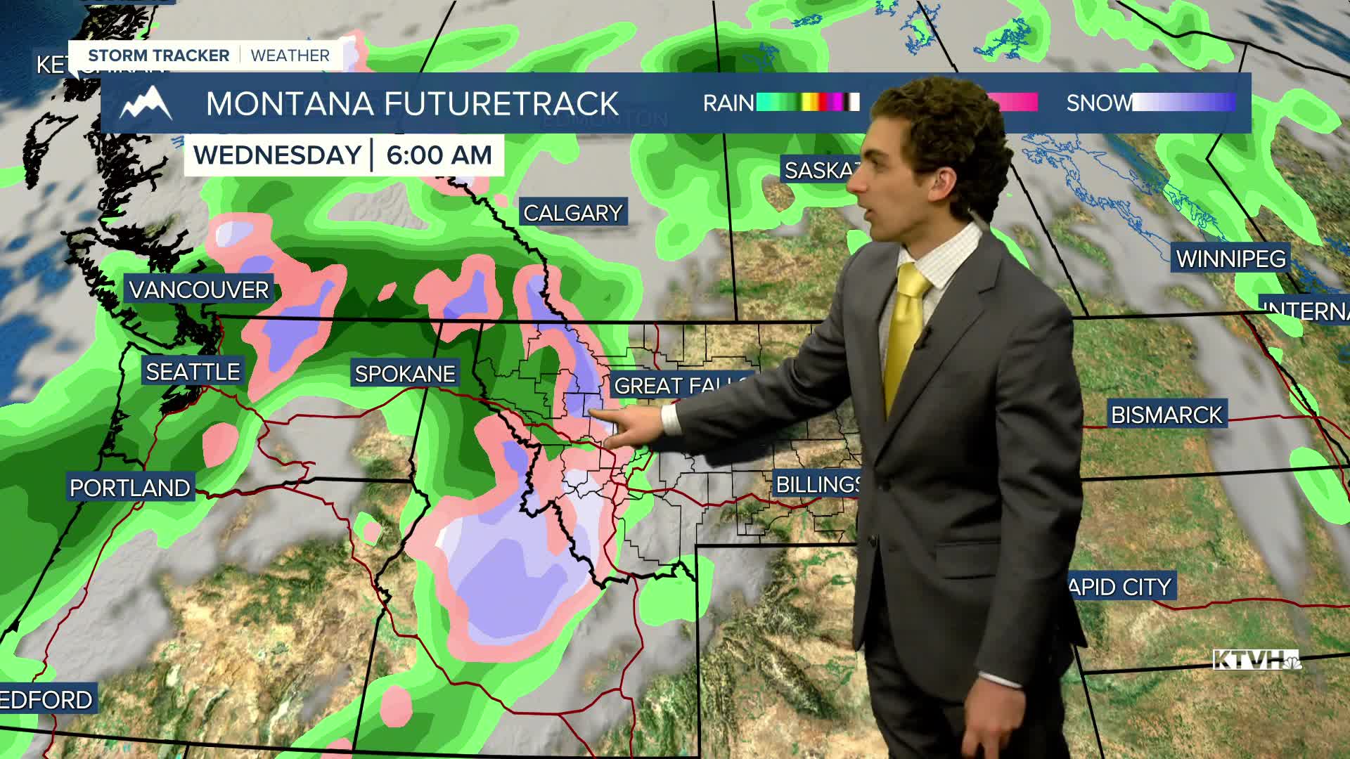
Showers and storms become a bit more widespread on Tuesday into Wednesday, with even some mountain snow possible along the Continental Divide on Wednesday morning.
——————————————————————————————————————————
WEATHER ALERTS:
NONE
——————————————————————————————————————————
Helena Temperature Records Today:
High: 95 (2001)
Low: 17 (1926)
AVG: 69/42
Great Falls Temperature Records Today:
High: 93 (2001)
Low: 17 (1934)
AVG: 68/40
