


MONDAY, APRIL 27TH: Low temperatures are near record lows this morning in the teens and low 20s. Our area is dry, but there is an area of light snow moving through southeast Montana.
This afternoon, there will be rain and snow showers popping up over the mountains of western Montana. Most lower elevations will be dry. High temperatures will reach the upper 40s to low 50s.
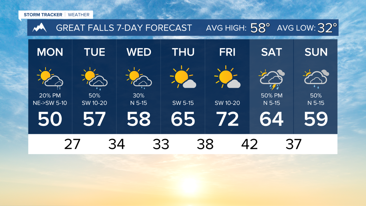
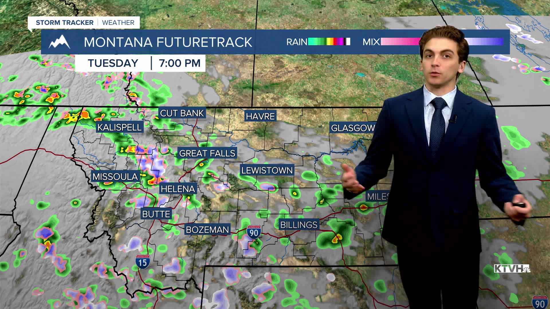
TUESDAY, APRIL 28TH: Lows will not be as cold as Monday morning. Expect temperatures to dip to the upper 20s to low 30s. There will be more rain and snow showers around than on Monday as well. A few of these showers could produce isolated lightning strikes. Afternoon highs will reach the 50s and low 60s.
WEDNESDAY, APRIL 29TH: Morning lows will dip into the 30s for most. A few rain and snow showers will come through the north-central plains in the morning along a weak boundary. Showers will pop over the mountains once again in the afternoon. Highs will reach the 50s and low 60s once again.
THURSDAY, APRIL 30TH: Temperatures may be a few degrees cooler in the morning as compared to Wednesday morning. Expect drier weather with mostly sunny skies and highs in the 60s.
LONG-TERM FORECAST: Friday will be the warmest day of the week with high temperatures reaching the 70s. Our next period of unsettled weather arrives over the weekend with rain showers and thunderstorms.
——————————————————————————————————————————
WEATHER ALERTS:

——————————————————————————————————————————
Helena Temperature Records Today:
High: 83 (1987)
Low: 15 (1907)
AVG: 60/35
Great Falls Temperature Records Today:
High: 85 (1987)
Low: 17 (1984)
AVG: 58/32