


I hope everyone had a nice holiday weekend! Active weather is on an extended vacation and won't return until at least Saturday. But smoke will be the main concern through the rest of the workweek.
A series of two cold fronts, one today and one Thursday, will bring wildfire smoke from Canada and gusty north winds. The wind will be stronger on Thursday.
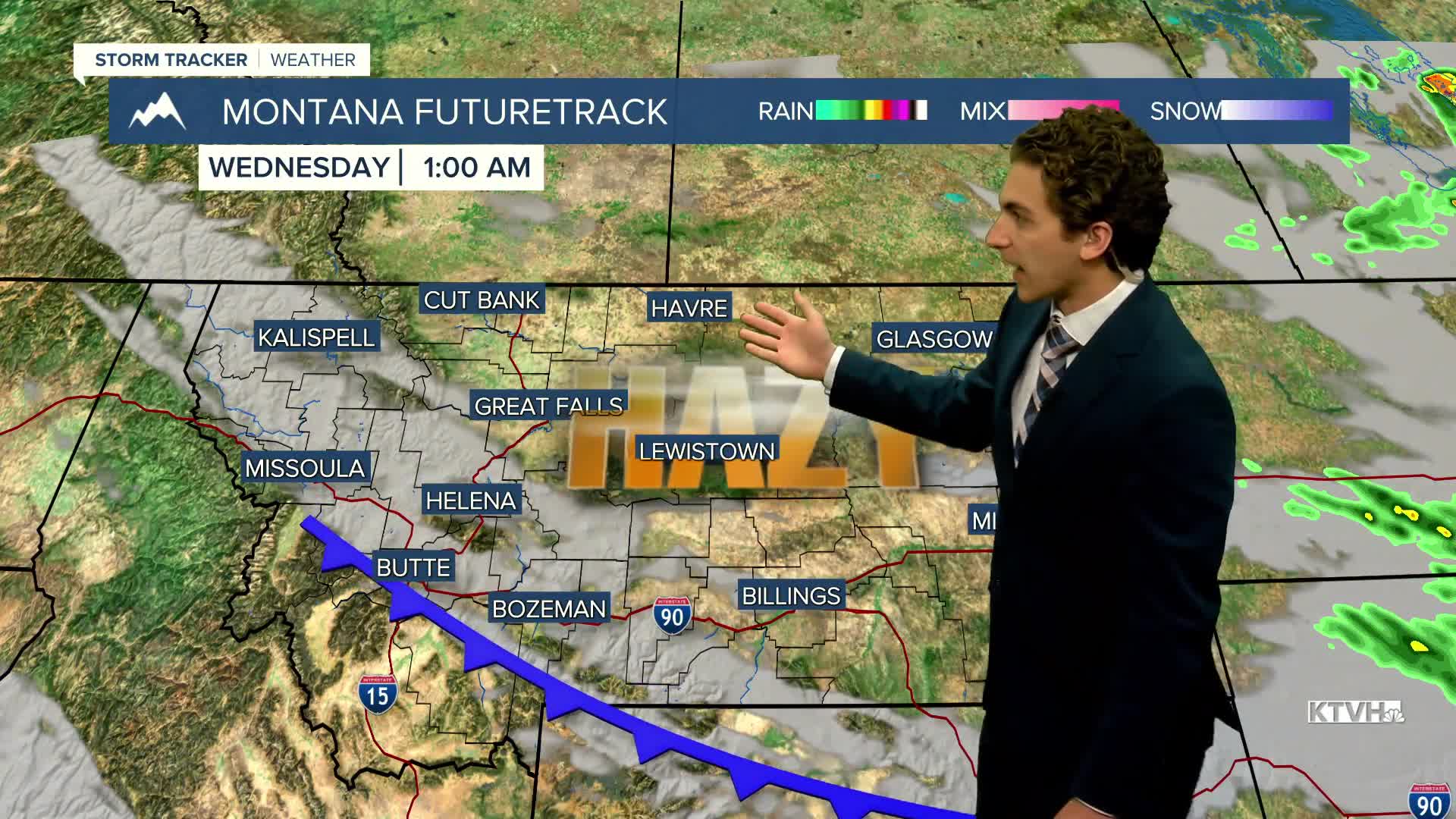
A few light showers and thunderstorms will be possible today in northeast Montana. Expected highs in the 80s and low 90s.
Highs cool a bit for most heading into tomorrow. Temperatures will range from the upper 70s to the low 90s, and everybody will be dry.
The second cold front comes through on Thursday, knocking our temperatures back into the 70s and low 80s east of the Continental Divide.
Friday morning could be the coldest morning we have had in a while, with most locations dipping into the 40s, and some colder spots even in the 30s. Aside from the smoke, Friday will be a clear day with highs in the 60s and 70s.
West winds will slowly return by the weekend, allowing for isolated thunderstorms to return.
——————————————————————————————————————————
WEATHER ALERTS:
NONE
——————————————————————————————————————————
Helena Temperature Records Today:
High: 97 (2007)
Low: 32 (1959)
AVG: 79/48
Great Falls Temperature Records Today:
High: 96 (1969)
Low: 33 (1962)
AVG: 77/46
Have a great Tuesday!
Joey Biancone
Meteorologist
