


Icy roads will impact the morning commute across the state today as snow moves out. Another storm system looms as heavy mountain snow is expected towards the end of the week.
Another storm system enters the state tomorrow. Scattered showers will enter the Helena area in the afternoon. Most of the activity should be in the mountains. But a rain/snow mix can't be ruled out as we head into Thursday night.
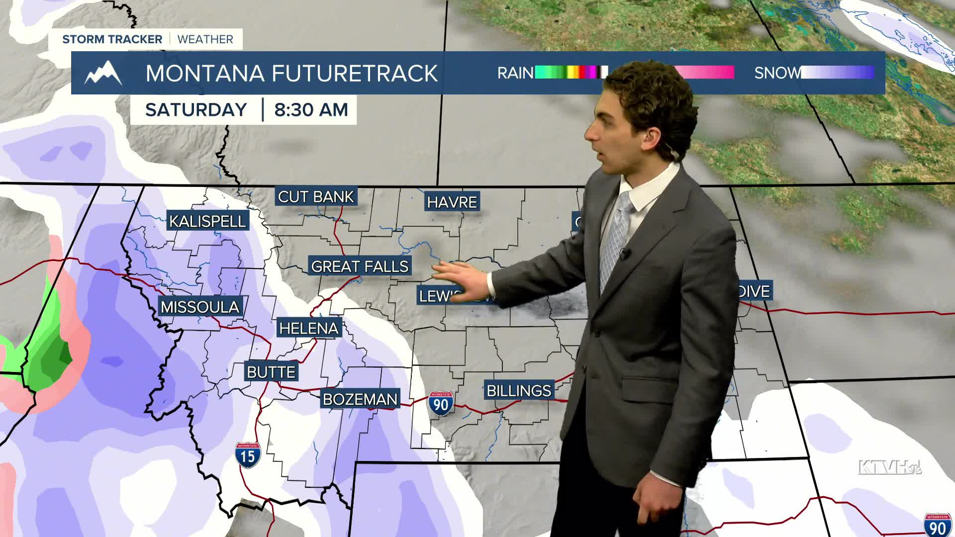
There will be a round of precipitation in the early morning, and another one on Friday night and Saturday morning. Above freezing temperatures during the day in Helena should prevent snow accumulation, but overnight, we could see a wet snow with little accumulation.
There will be mountain snow showers around Saturday and Sunday. When all is said and done. Some of the mountains of southwestern Montana could accumulate over a foot of snow.
The wind will remain gusty through most of the week near the Continental Divide. The winds will reach a maximum early next week. The Helena Valley should have lighter winds between 5-15 MPH today and tomorrow, but winds pick up heading into the weekend.
Highs this week will be in the 30s. Temperatures will warm into the 40s early next week.
——————————————————————————————————————————
WEATHER ALERTS:
NONE
——————————————————————————————————————————
Helena Temperature Records Today:
High: 62 (1975)
Low: -26 (1880)
AVG: 36/17
Great Falls Temperature Records Today:
High: 61 (1987)
Low: -19 (1972)
AVG: 38/19


